
Arizona Trail - Cienega Corridor Segment
The Cienega Corridor is one of the last unfinished segments of the cross-state Arizona Trail. Volunteers from the greater Tucson area are coming together as part of a remarkable effort to complete the trail.
For more information on the project and to sign on for future work dates, see aztrail-build.org
TopoFusion software was used to map, plan and flag the trail. The most current GPS data can be found on this page. At present the GPS file starts at AZ Highway 83 and ends at the Saguaro National Park boundary. It is the "recommended" route in the few places where the route does not exist.
GPS data for the Cienega Corridor:
Click Here for the data in .GPX format.
NOTE: You may need to right click and select Save As... also, your browser may (for some strange reason) add the .xml extension to the files. The correct extension for the files is .gpx
Below is a progression map of the first season of work events in the Rincon Valley:
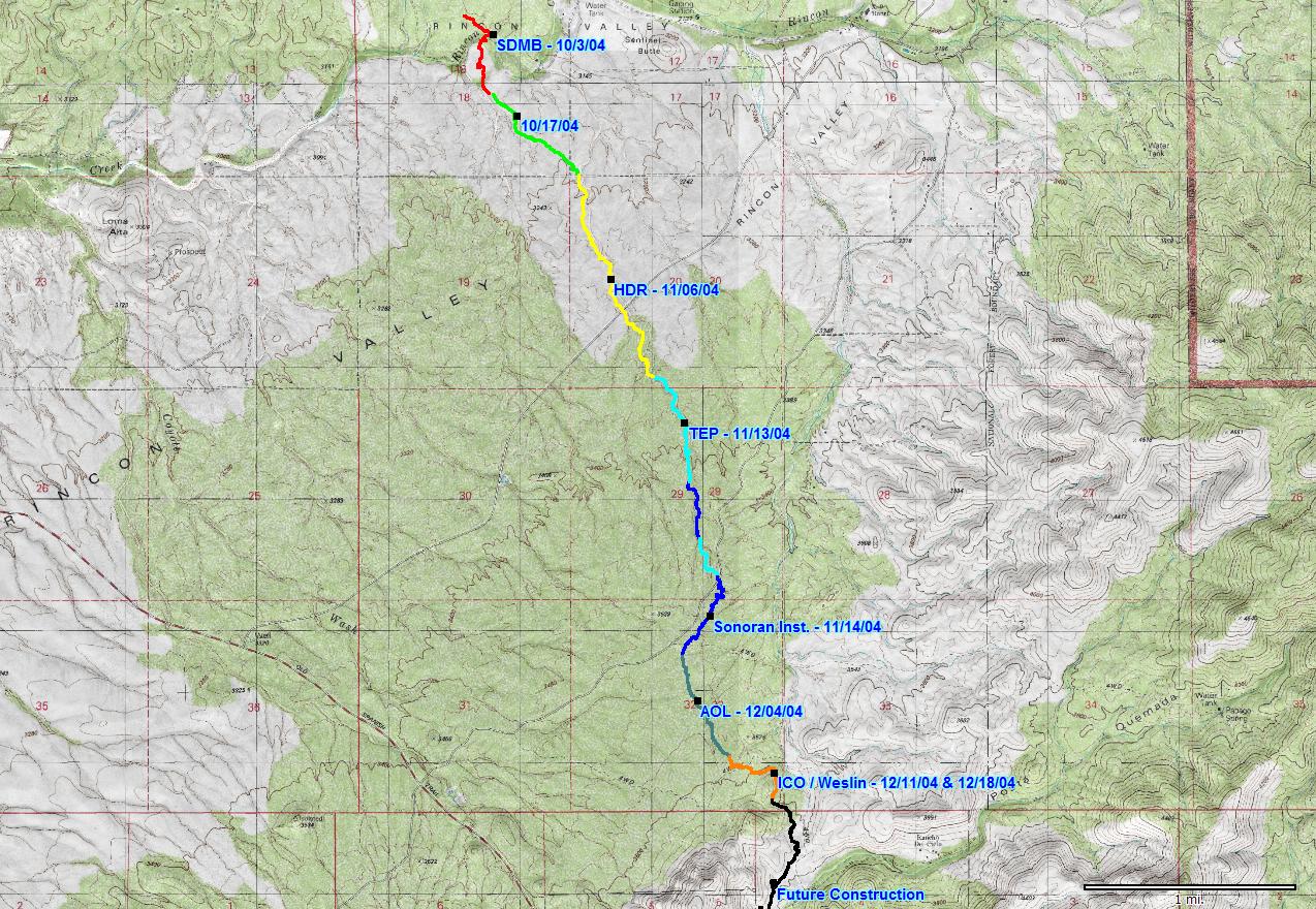 CLICK on map for larger version