El Camino Del Diablo – January 23, 2006
by Scott Morris
The “highway of the devil” – so named from the original 1540 expedition comissioned by Francisco Vasquez de Coronado due to the hardships encountered. The route lived up to its name during the 1849 gold rush. Some traveled during summer to avoid Apache marauders, and they paid the price in 120 degree Yuma heat. Historians estimate from 400 to 2,000 people have lost their lives on the Camino, meaning that it is the most deadly immigrant trail in North America.
The route once linked Caborca, Mexico with Yuma, AZ. The modern version (after pavement) of the Camino starts in Ajo, AZ and ends in Yuma, AZ. As far as we could tell, no one had never thru-ridden the camino on mountain bikes. The reason? Sand.
Reports were all over the map about how sandy the route is. Some claimed it was 90 percent sand. Others told us there was no reason to even take a bike out there — you’d just end up walking the whole time. A fish and wildlife officer told me that sometime the road is so bad he often feels like getting out and setting his truck on fire. (?!)
So it was with some apprehension but piqued curiousity that Lee and I approached the ride. We were ready to walk. A lot. We were also ready for some nice scenery. The route is commonly run by 4×4 enthusiasts and we had found some intriguing pictures on the web.
In arranging a ride back from Yuma to Ajo, we found that Lee’s friend Randy wanted to see the Camino himself. After some arm-twisting, I agreed to do the ride supported. This took a huge part of the adventure and risk out of it, but given the reports we had, the lack of water and the fact that we needed a return ride anyway, it made some sense.
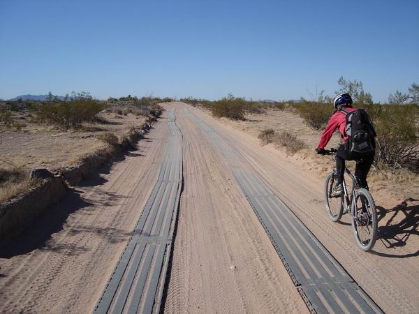
They (border patrol?) have gone to the trouble of installed metal grates to aid traction in some spots.
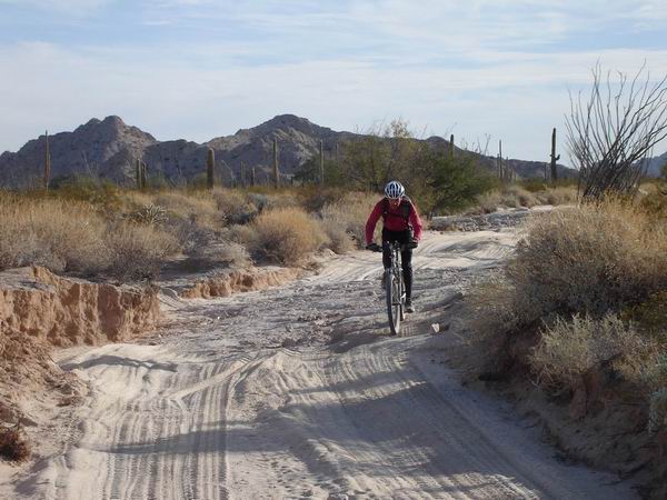
Starting to get sandy…
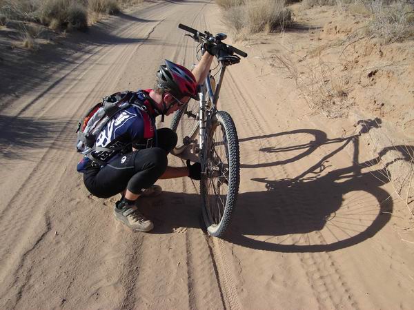
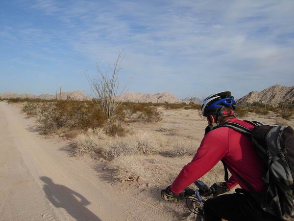
Time to let more air out of our tires. I was often running ~15 PSI. Lee was able to go lower since he was running stans. I had wider tires, rims and a 29er. We seemed to be about comparable in terms of “float.”
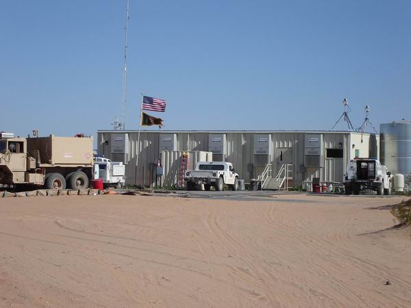
The border patrol constituted 95% of the encounters on the Camino. This is one of their ‘temporary’ command structures. Welcome to Iraq, USA.
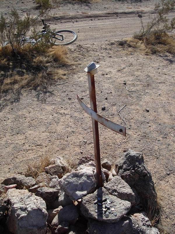
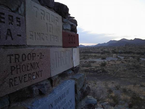
O’neil’s grave. Donate a penny for safe passage on the Camino. He supposedly died of drowning — probably the only one to die of too much water out here.
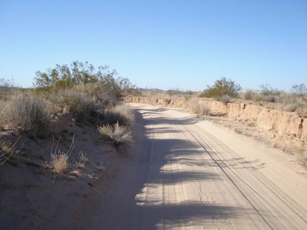
Entering Las Playas. The road was covered in 8-10 inches of very fine dust, unlike anything I’ve ever seen. The funny thing is that it didn’t really slow us down. It was really fun to blast through it.
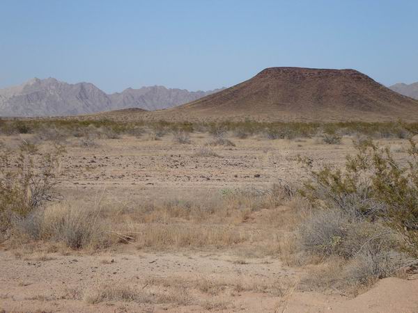
Cinder-cone on the northern extend of the Pinacate Lava flow.
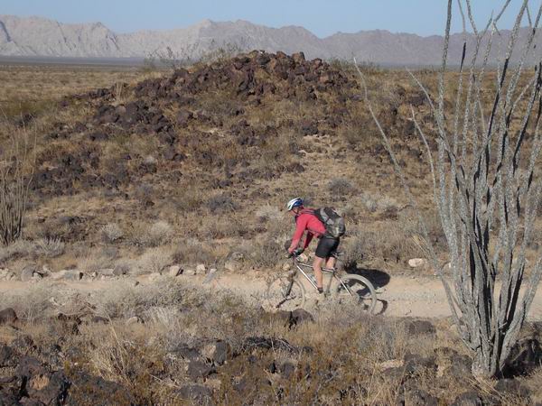
Lee enjoys a brief descent in the lava flow area.
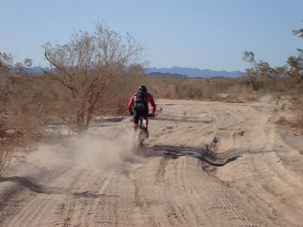
The route goes down this wash for miles and miles. It was slow, but surprisingly rideable with low tires.
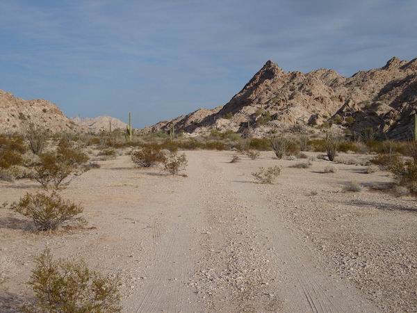
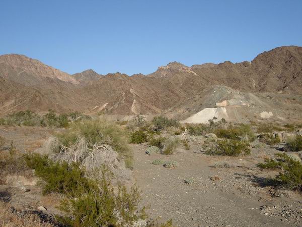
Heading into yet another mountain range. The valleys were always sandy, but the near the mountains the route firmed up.
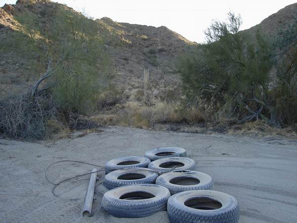
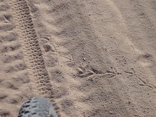
The Border Patrol continually drags the road with tires to look for foot traffic. We’re not sure if this helps or hurts the rideability of the road. I think immigrants and drug mules are smart enough to erase their tracks, though.
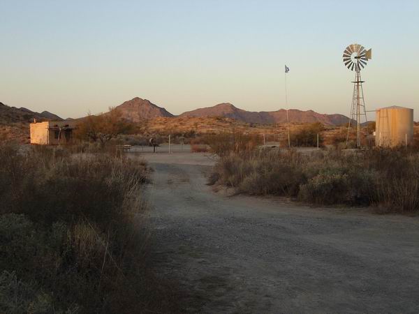
Camp at Tule Well.
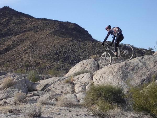
Diablo FR (with 15 PSI!!). There is A LOT of potential out there. Unfortunately it is wilderness on both sides of the road. There’s a 50 foot corridor of non-wilderness.
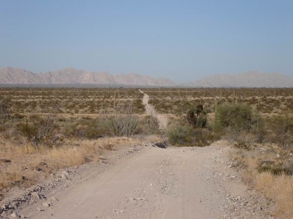
This was the valley with the most sand, the Lechuguilla desert
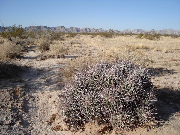
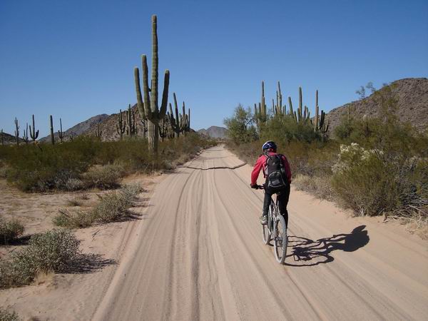
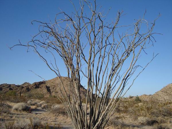
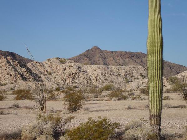
Cool barrel-like cactus

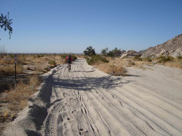
Here comes the sand we were looking for. How low can ya go? (tire pressure)
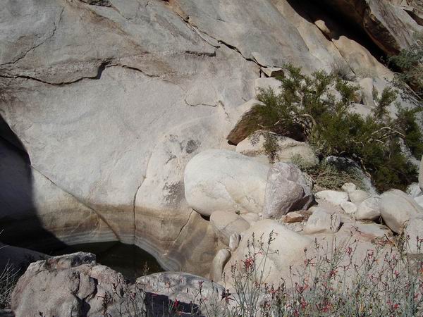
One of the Tinajas Altas (high tanks — natural rock pools)
You have to do a little rock climbing to get to the tanks. Supposedly some travlers died at the base of the mountain lacking the strength to climb to the higher tanks. Note the Elephant Tree near the right side of the tank. Pretty cool to see one growing here in the states.
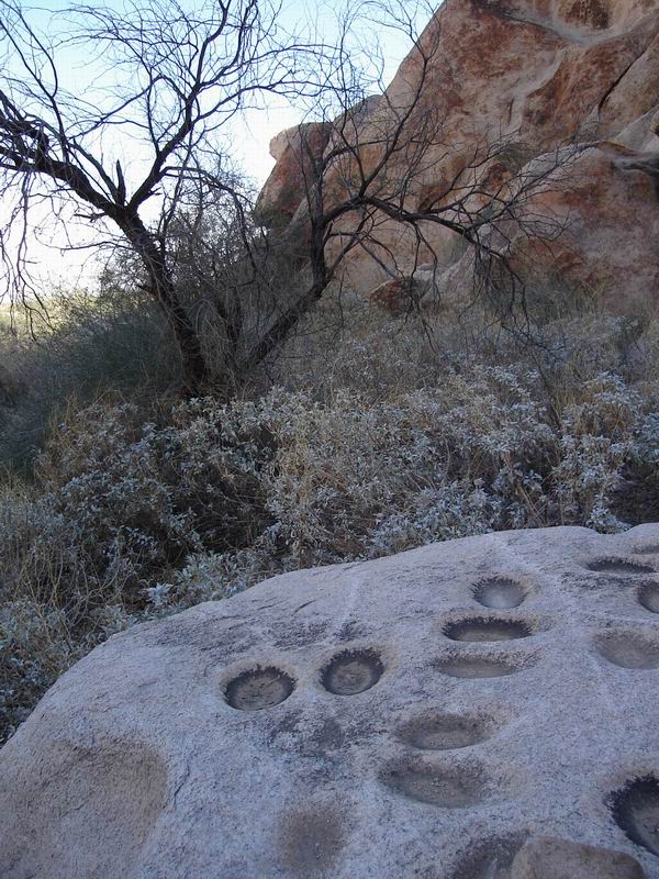
Grinding hole galore at Tinijas Altas
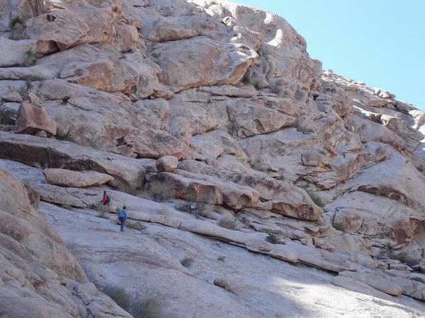
Tinijas Altas FR, anyone?
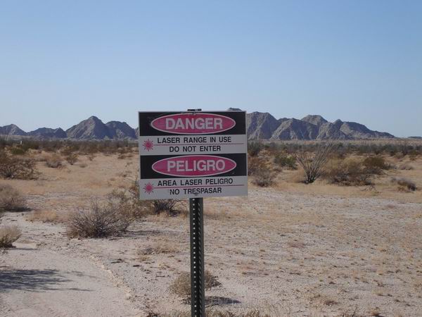
Danger! Lasers! There were hundreds of these signs on the west side of the road.
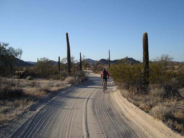
More sand on the west side of the Gila Mountains
Fortuna Mine – once a bustling city, nestled in some nice chocolate mountains.
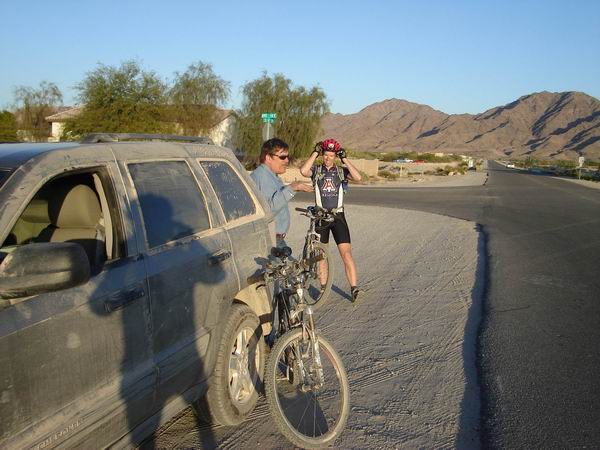
Back on pavement in Yuma. Too easy? Not really, I was still tired.
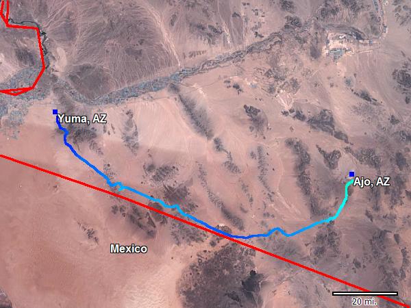
Stats:
135 miles
5000 feet of climbing
2 days (31 hours start to finish)

You must be nuts we just rode it In 5hrs on the quads