Part of the beauty of a trip like this is that it was simply too big to plan at once. We knew we would have to stay flexible and make things up on the fly.
So it was today that I invented a new route through the San Pedro mountains, eschewing the divide route since we’ve done that before and because it favors heavily traveled dirt roads.
We prefer something more primitive, something closer to nature, something with less traffic.
Well, courtesy some TopoFusion-ing and conversation at the Forest office in Cuba, it turned out beautifully.
Roads were smooth, roads were quiet, roads were beautiful. No traffic. Then roads were closed to vehicles and progressively more rocky. It was just us and the bears.
Since there are no set detours for Wilderness on the CDT, I am trying to find an pieces of non-CDT singletrack we can ride instead. In the process of searching for trails in the Cuba area (very few outside the small Wilderness area the CDT traverses) I stumbled upon a trail to San Antonio Hot Springs.
Ah ha, it isn’t too far off the divide route! Maybe it can be tied in.
Access information was vague, both online, at the Forest office and on the ground. People like to keep these type of things hidden, it seems.
So it was an adventure to actually find it. First the roads and routes to get near it. Then we had to find a way off the 400 foot cliff band to the valley below. The Forest guy told us there was a sign and a break in the fence, and a pretty precise location based on the map. But we could find no such sign and nothing that looked very reasonable. We started following powerlines down a ways, on what looked like a trail, but it soon got stupid steep and we decided against it.
After searching various pullouts that ended cliffed out in beautiful camp spots (one of which we claimed as our own for the night — pre-scouting a campsite — that’s a new one!), we were getting close to giving up. I figured we could make it down the powerlines, but it wasn’t going to be pretty and Team Vertigo Ez wasn’t too stoked by the idea.
I took a good hard look at the map, recalled what the Forest guy told us, correlated both with the GPS, and what we could see from the campsites, then finally ascertained it must be near the powerlines as that was the only weakness in the cliffs.
I was right! We found a tiny little trail that had foot prints a ways down. Stash the bikes and go!
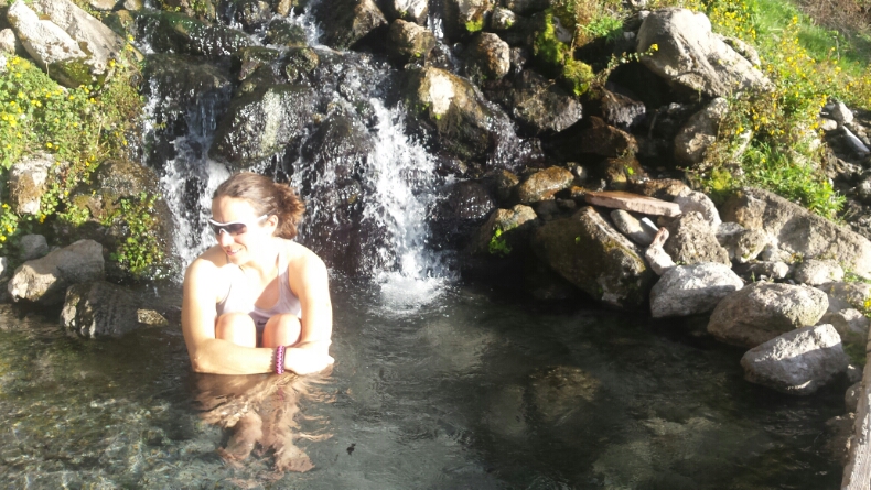
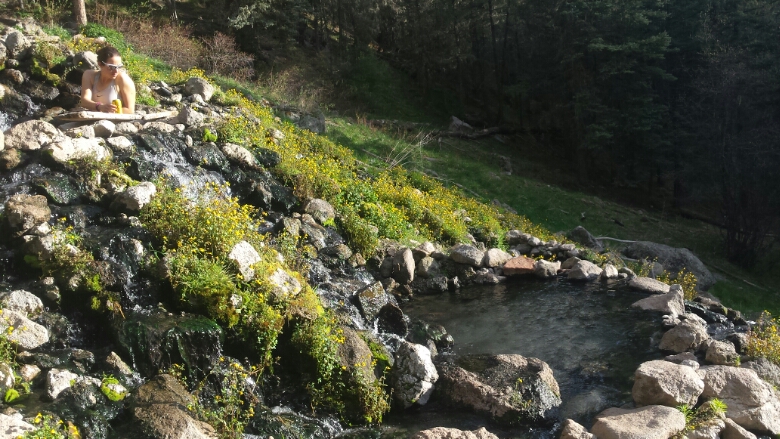
A scramble down and short road walk later, we were at the pools of hot natural water with sunlight still on us.
It was idyllic, relaxing, almost too good to be true. I could really get used to ending a day of riding like this.
We’ll reconnect briefly with the divide route atop the mountains, then go try a National Recreation Trail as a descent. We’re keeping expectations low since the Forest warned us there had not been a trail crew for many years, but hopeful for sweet trail.
Exploration, you gotta love it!


Leave a Reply