The riding is done and the daily posts are up, but I still have a bunch of photos to share, all the way back from Grants — the last time I had solid computer access.
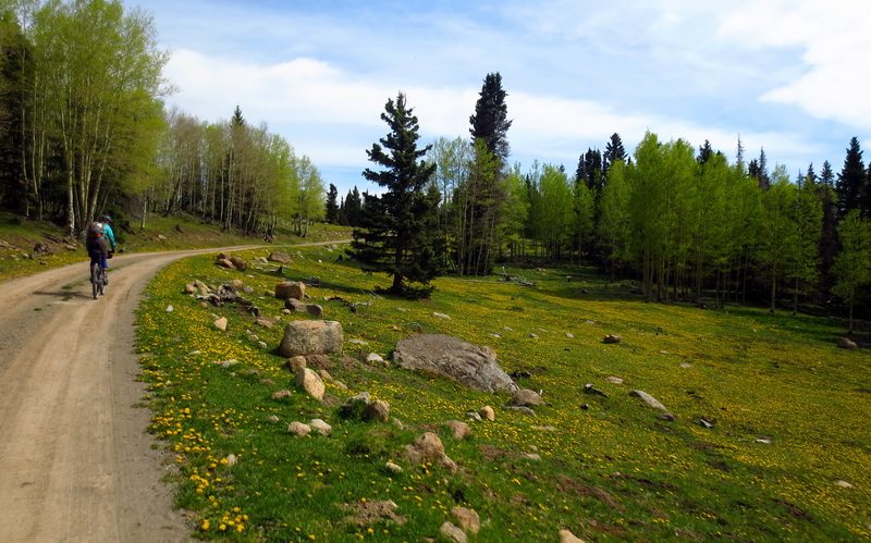
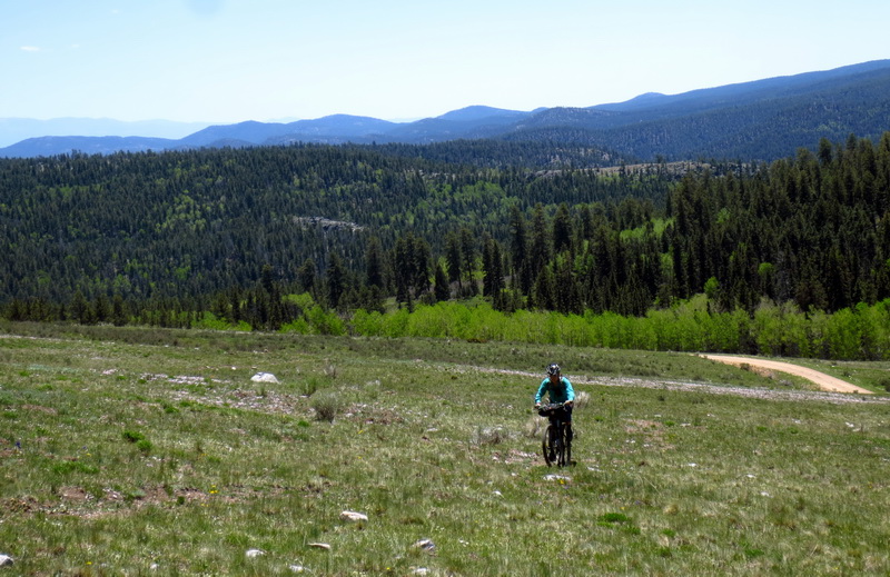
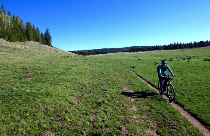
Merciful mesa on the flanks of Mt. Taylor.
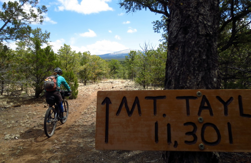
Luckily the entire 5000′ is not gained at once.
Nearing ‘treeline’ or ‘bareline’ on Taylor. Still riding!
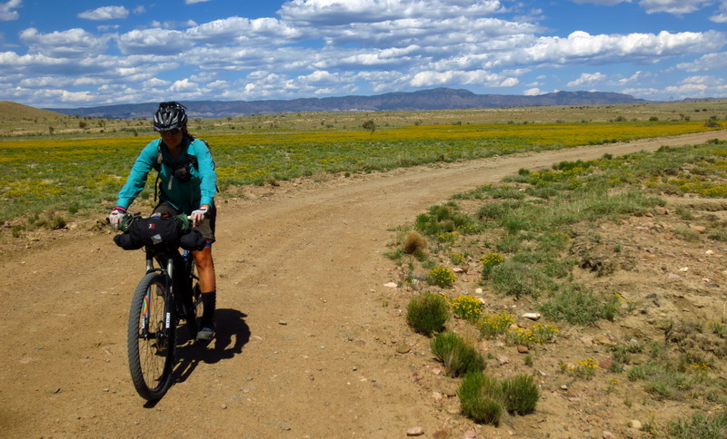
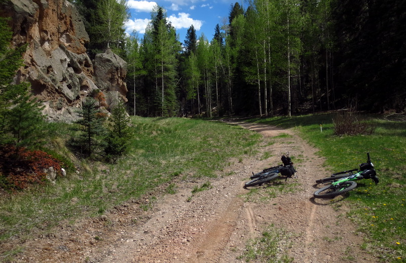
Well contoured, but still not an easy bikepacking trail, especially after a layover in Grants.
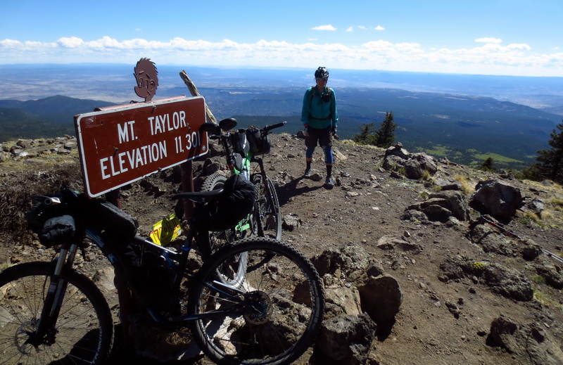
The top!
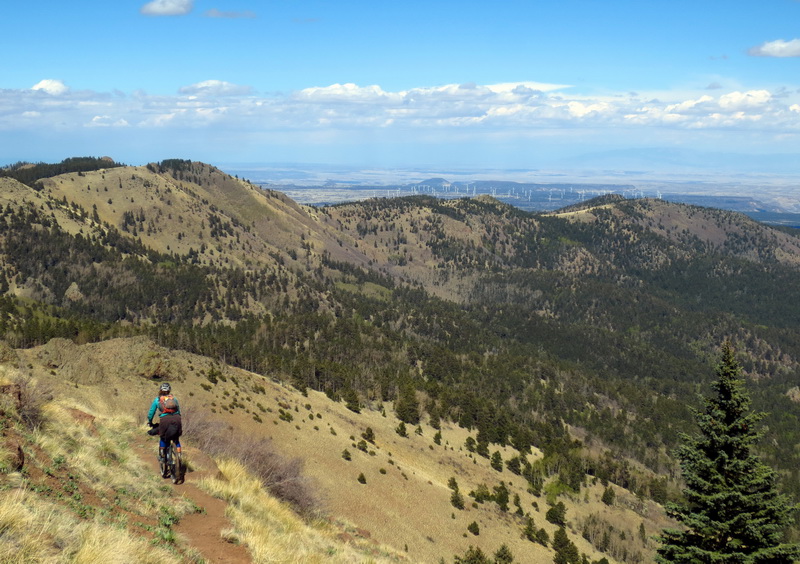
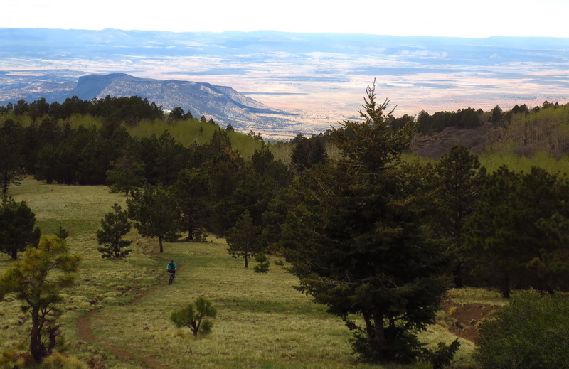
Dropping down the wooded side, air farm twirling in the distance.
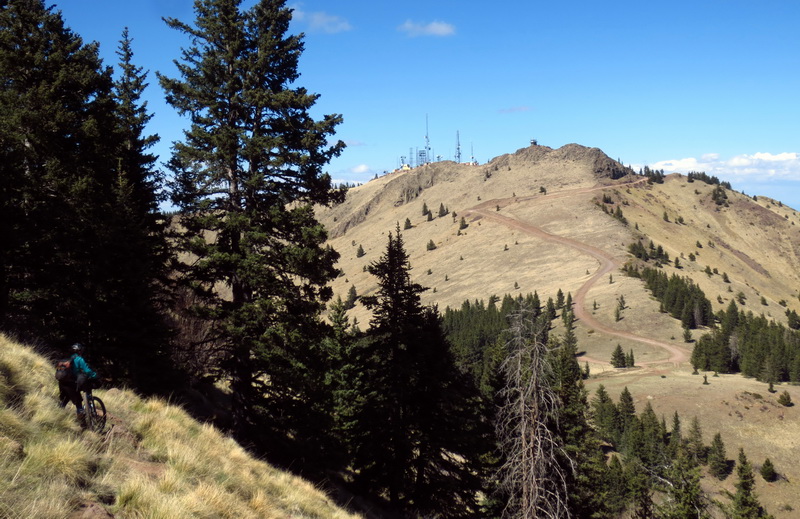
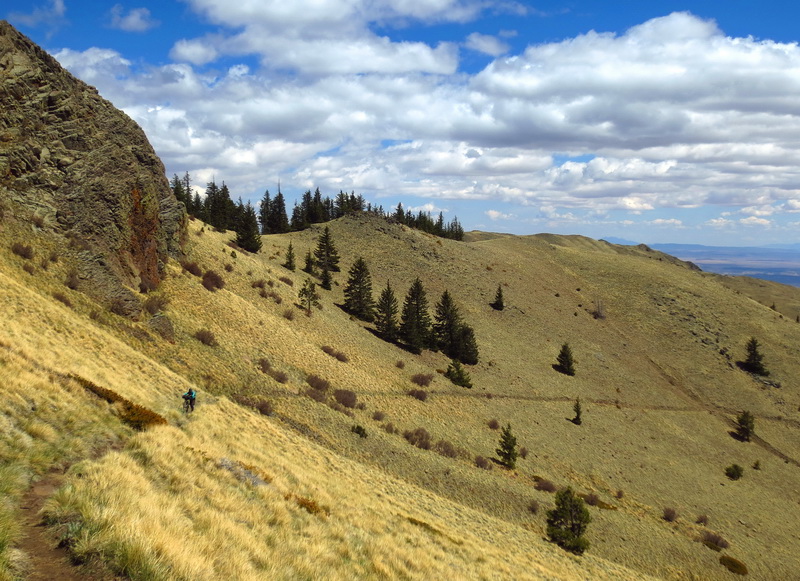
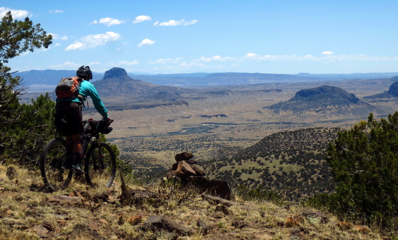
Mosca lookout. Amazingly the route didn’t take us up and over the highest point, just nearly the highest point.
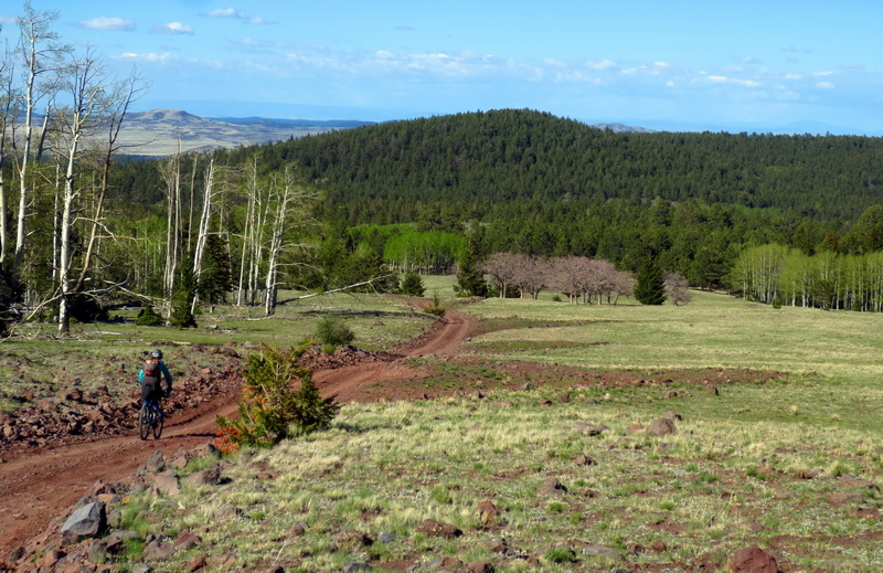
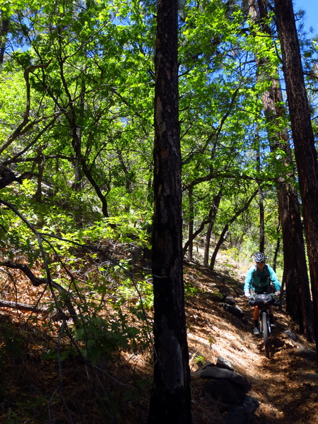
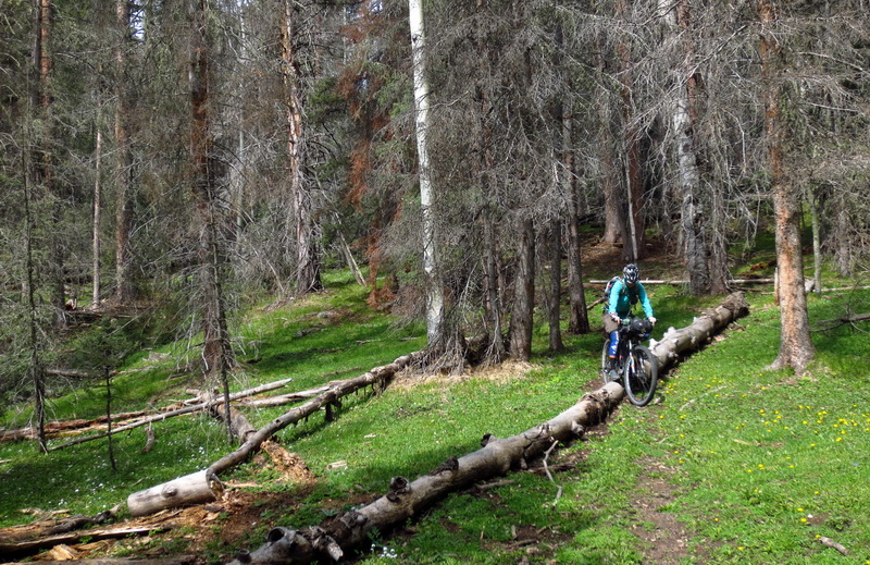
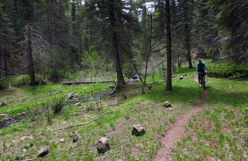
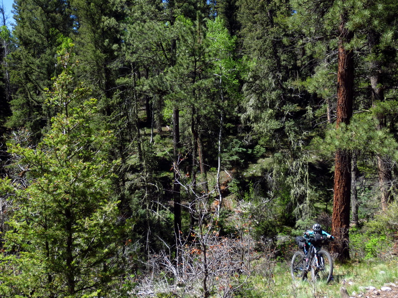
Dropping through magical forests.
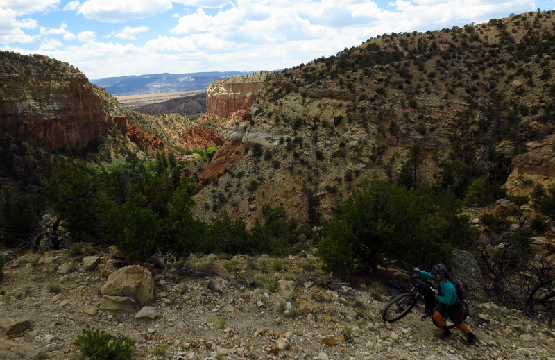
American Canyon Spring — oasis. We hike-a-biked out the wrong way and had to get creative with route-finding to rejoin. Found some singletrack as a result.
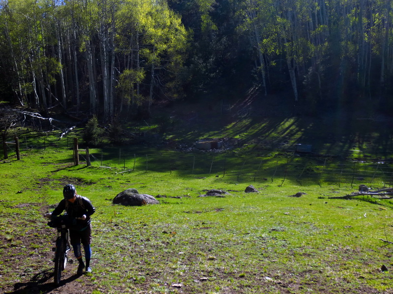
These guys wanted to join CDTbike. Amazing how much distance we put on Mt. Taylor in an afternoon. Yay bikes.
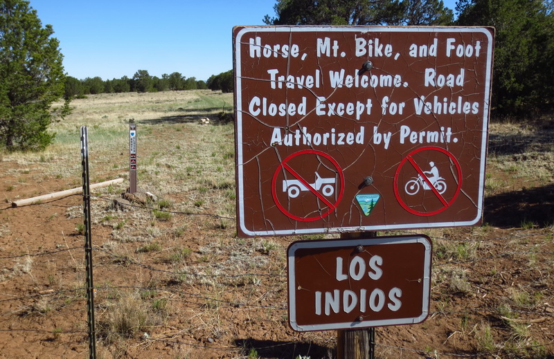
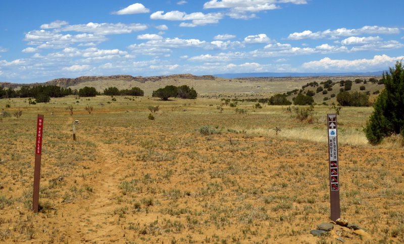
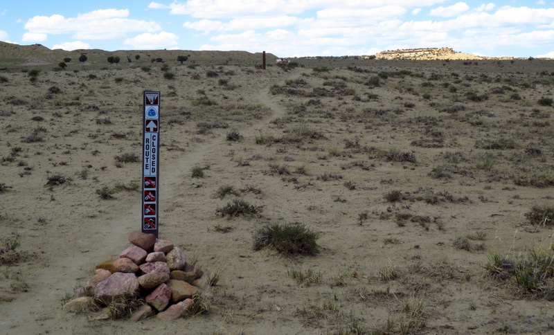
Oh New Mexico BLM, things started off so well. Mt. Bike travel Welcomed!

This trail needs more traffic.
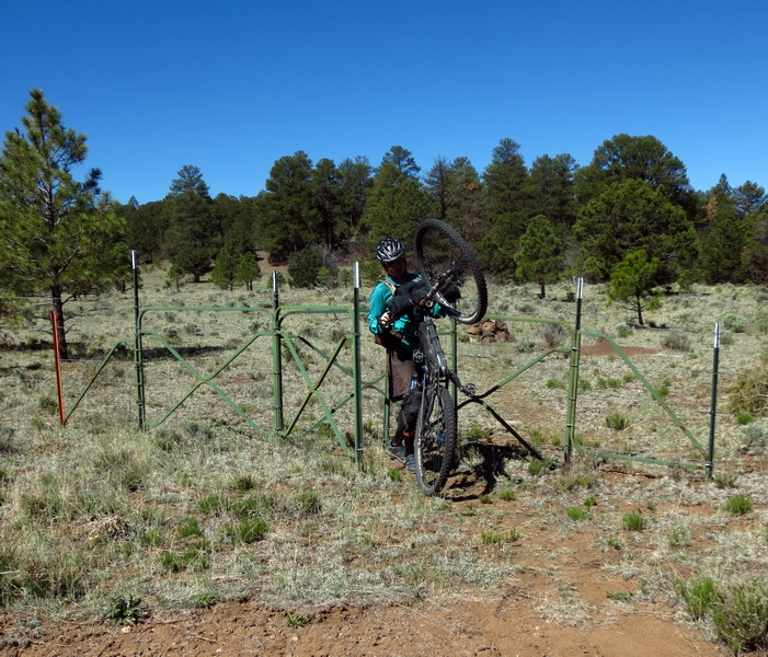
Not bike friendly (or horse!), but we don’t mind.
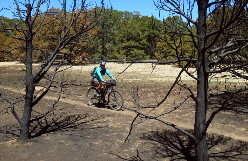
Controlled burn. Burned to a crisp.
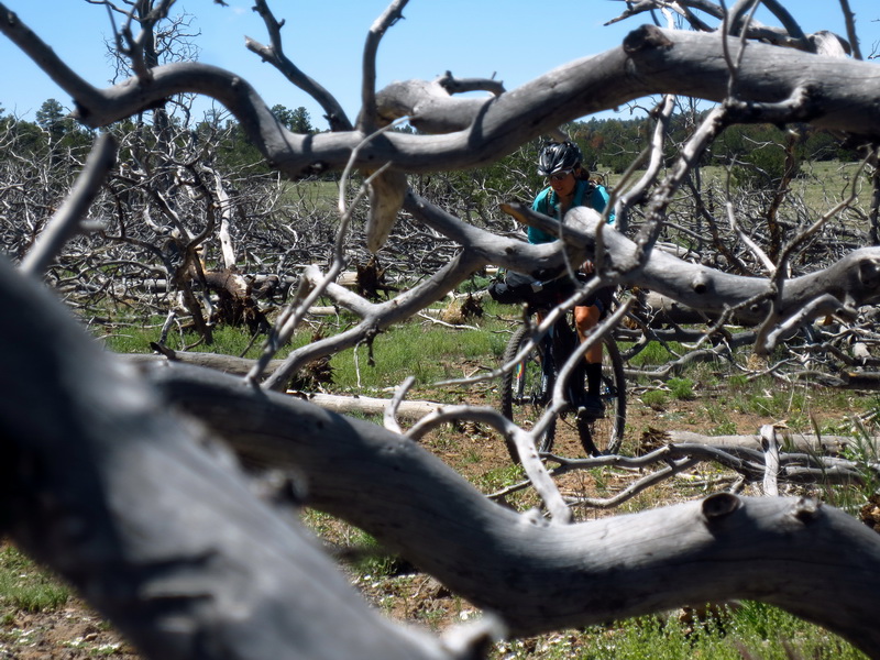
Oddly dead forest.
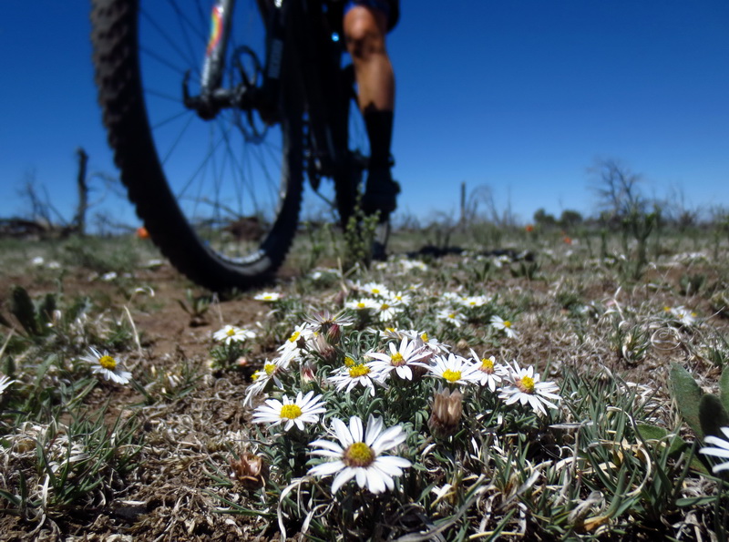
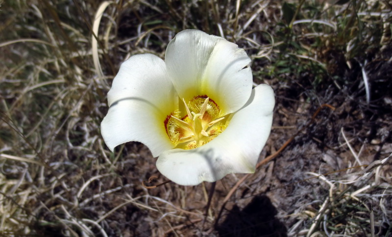
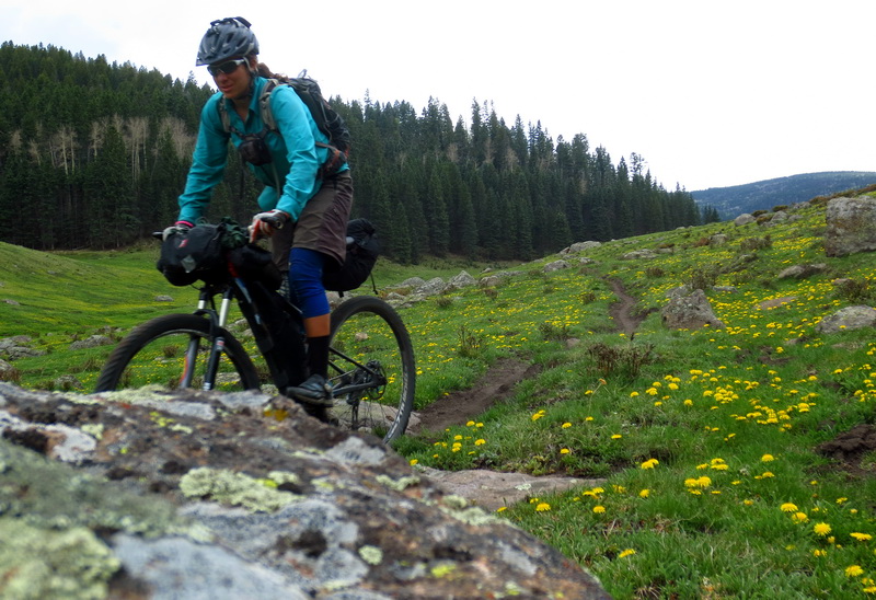
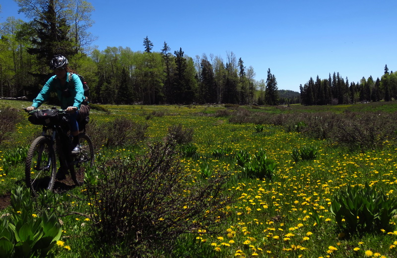
Lively flowers.
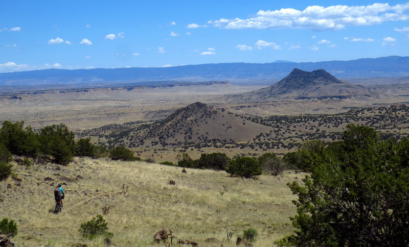
Dropping off the mesa.
Suddenly into a lush forest.
Such forest did not last long. Down into the desert we go!
Stoke level was at all time high, knowing how beautiful this country was ahead, and thinking we’d be able to explore new trail on regular BLM public land.
Fie.
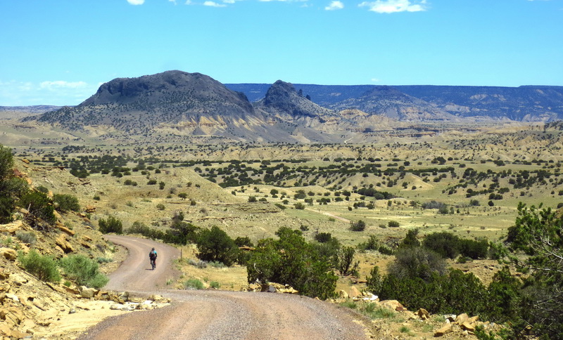
Well, there are worse roads to have to ride. New to Ez.
“Why is it that Tour Divide skips this section?”
Why? Riding extra miles to check for open trail.
Improvised non-divide lesser road through flowers!
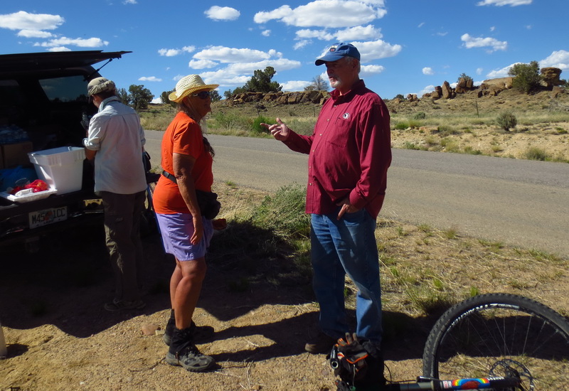
Performing trail magic and meeting Mother Goose, the inimitable thru-hiker.
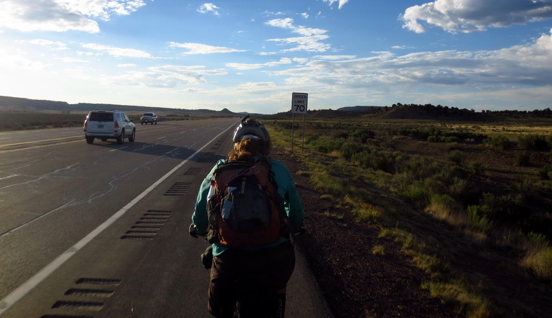
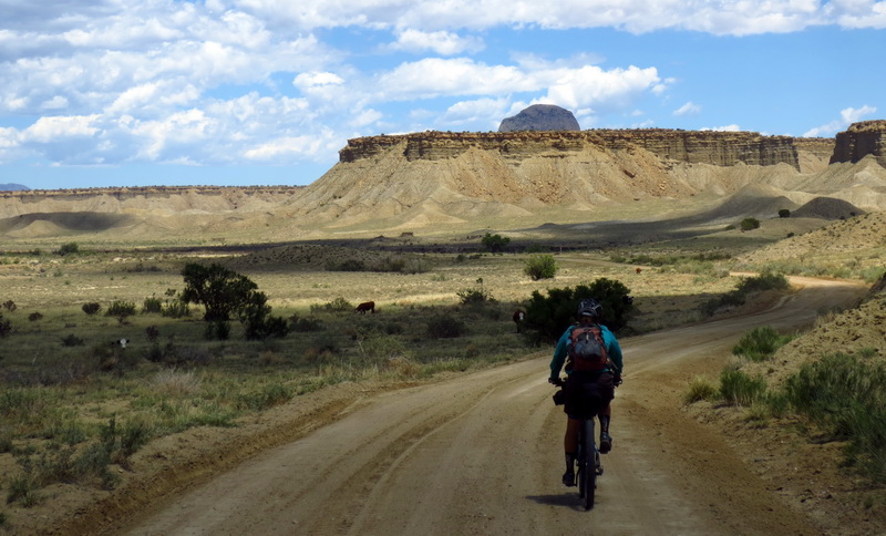
This section of highway brought to you by the New Mexico BLM.
This is better. Wilderness detour around the San Pedro parks.
Less vehicles = mo better.
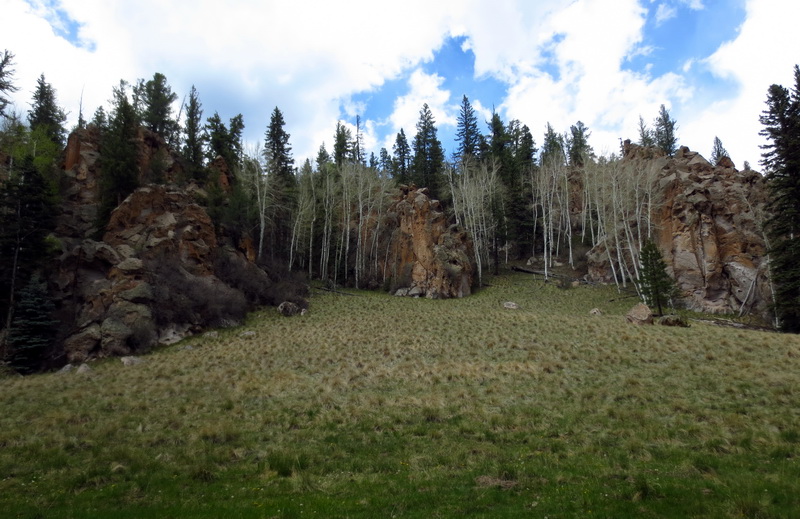
San Pedro fins.
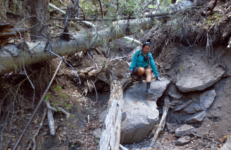
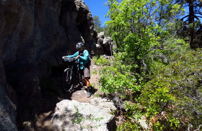
Scrambling to the San Antonio.
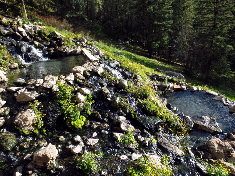
En route to idyllic hot springs.
Idyllic San Pedro roads.
Canones Recreation Trail, starting off in fine form.
Even better! More please.
Oof.
Ahh…
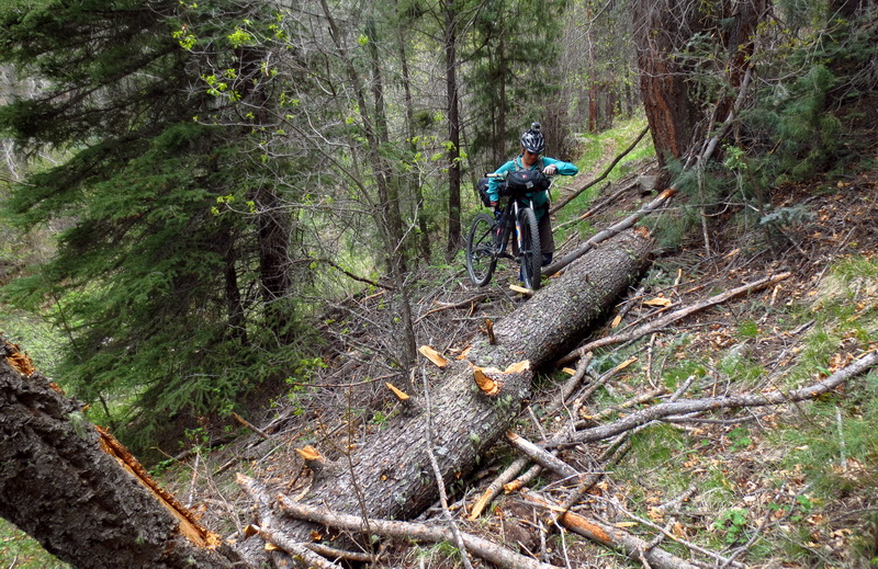
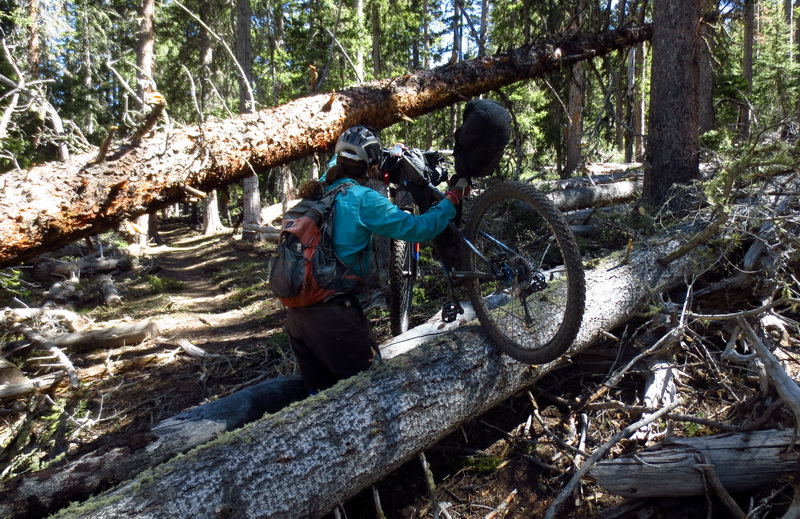
Double oof. Tree 55 of 120.
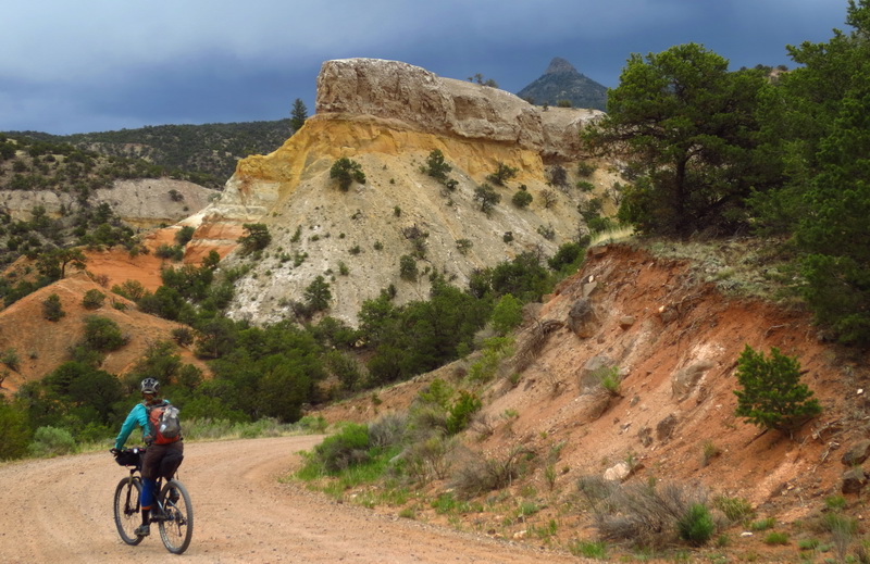
Running from the storm over Pedernal, the mountain featured prominently in many O’Keefe paintings — it just doesn’t look like it from this angle.
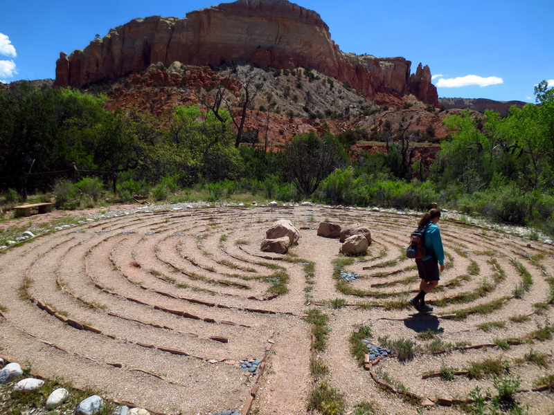
Peace and contemplation at Ghost Ranch. I took a wrong turn early on and ended up walking towards the exit, but Eszter completed the maze to the center.
Pushing and sliding out of Ghost Ranch.
But wait, it wasn’t entirely hike-a-bike!
The best forgotten roads.
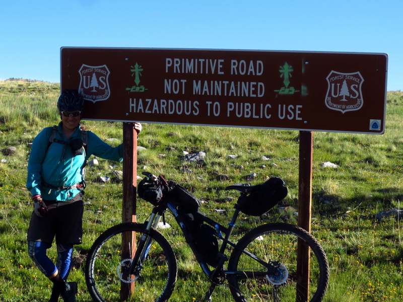
Big graded ones, or paved ones, are much more hazardous….
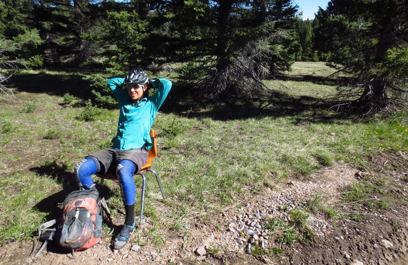
Sometimes you find an orange elementry school chair in the middle of nowhere.
Ley maps said try XC for a shortcut. A pleasant diversion from lots of roads.
Rawr.
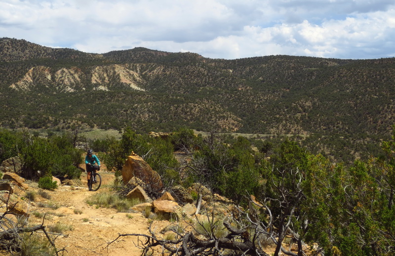
Crossed the divide route, continuing on singletrack, or remnant thereof.
Good trail built by mountain bikers.
Doubletrack that rides like singletrack.

What a gem of a trail.
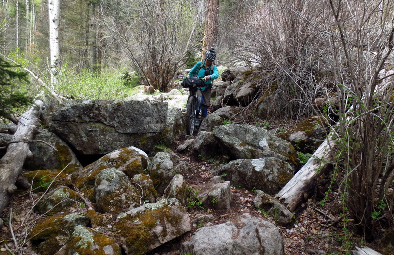
Jungle gym of trees. Now cleared by a local mountain biker (Dave Burdette).
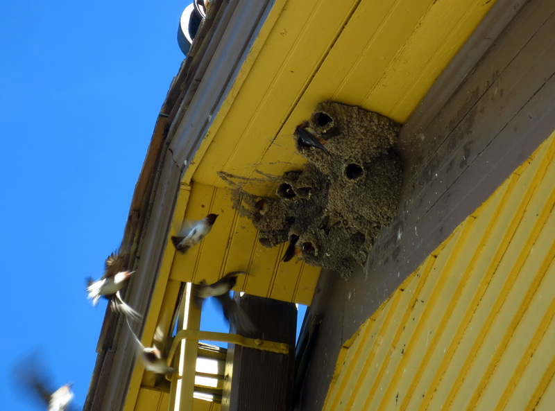
Swallows fighting for a spot.
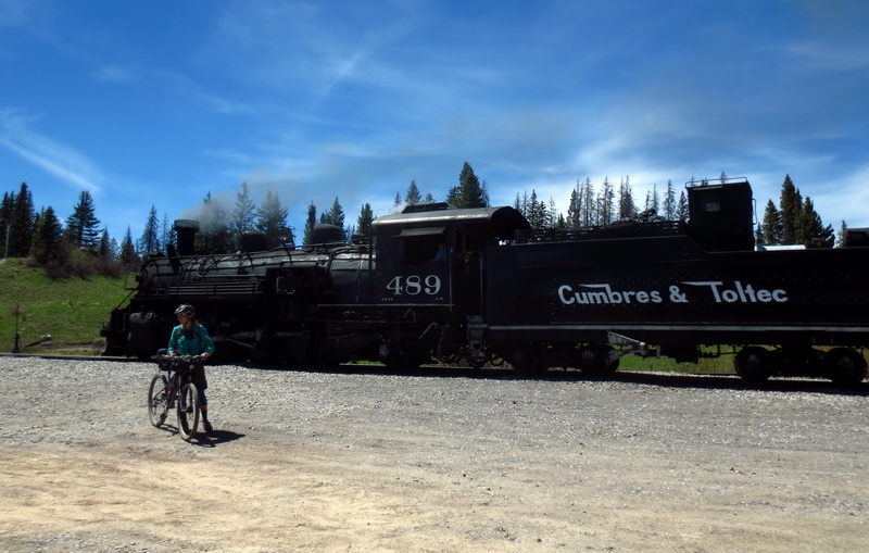
Cheesy tourist shot. The train! We thought about trying to hitch a ride, or trying to buy ice cream from the snack car, but Chama was not far.

Hi Scott. Planning my NM CDT ride for this spring. Wondering what the water tank you and Ez found once out of Box Canyon and above Ghost Ranch was? Ez refers to it in her blog- photo of yellow tank with old fence line. My study of your blogs and Topofusion make me suspect it was Harris Bear Spring- but not sure. The TheTrailUnitesUs site does not list water sources for this section of CDT. Have ridden most of GDR and walked CDT Canada to Mexico in 1984. Inspired by your ride and looking forward to giving piece of CDT a try on the bike this May. Inspirational ride by you and Ez- thanks for leading us all. Best, bd
Hey Bobby, glad to hear from you. How cool to revisit the CDT 30 years ago, and by bicycle.
We did get water from Harris Bear Spring and it was quite a nice source. If you look at our track carefully you can see where we hopped the fence to go over to it.
Let us know if you need any more info, and please get in touch after your ride to let us know how it went!
Best,
Scott
Thanks for response. I figured that was why your track got all mo-jiggy there. My plan is to pretty much follow your track, and was not planning on getting too deep into Bearcreek or Ley- only riding Grants to Chama. Your comments on loading Ley maps into phone for nighttime perusal/ big picture interests me though. Did you scan his maps in order to do that or do they exist in an e format somewhere? I became an e Trex fan last year for the Grand Loop, and following the red line really makes the nav pretty simple. But the old dog in me just needs to be able to look at a map still and just figure it out sometimes. The BLM and USFS paper maps for GL sufficed fine, but they were heavy and bulky. It is a long way since 1984 on the Divide. There was no designated route, CDT markers, etc. then. We just bought maps and followed the Divide. Wolf had a couple of early guides out that I believe we looked through. Different era. Your ride last summer was truly enjoyable for me- it had that flavor of intrepidness and real adventure which we felt in ’84. I have loved my rides on the GDR- but they have lacked that quality which has always been a bit disappointing. Peace.
Right, our track goes mo-jiggy a lot!
No reason to go too deep on Ley or Bearcreek, but if you send Ley an email he will (snail) mail you a CD with the maps in jpeg form on them. All you need is a decent image viewer to pull them up and study ahead. Send him a few bucks if you can spare it since he works HARD to keep them maintained (and mention you are riding bikes!).
I have some small sense of what it might have been like to travel the divide based only on where the divide is and some suggestions/rumors. A few pieces of the CDT still have that feeling — where there’s no signage, or vague/conflicting signage, and definitely no legit trail. How cool that you walked it back in ’84, just after the Moes. Did you ever meet them?
I will contact Ley- thanks for the tip. Sorry to have so many questions. You know how that is, no?- it is a ball of yarn trying/wanting to “get down to the gnats ass” on route details. I do not mean to take too much of your time. I can tell that you, like me, really like to dig and know the route inside and out. It is part of the joy of an adventure to me- the planning.
We did not meet the Moe’s. They walked north in ’82 (year I hiked the AT), and rode north in ’84 as we walked south. That we never crossed paths is a great disappointment to me. I have looked into it in detail based on my journal and their articles in Bike. We passed like ships in the night on August 11, 1984 in Yellowstone. Exactly because they were inventing the wheel on the Divide, and thus confined to the pave, did my brother and I miss meeting them. This is a sad irony to me. That we never saw a tire track or heard rumor of them amazes me still. The Divide community was tiny then. Can’t believe someone in some town didn’t say “do you know those other two boys?”. I so wish we had met- it would have been, at least briefly, four brothers, not two sets of two, visiting together in the Divide’s yellow light. Funny you mention them. I know you must know their story. It is such a profound lament of mine to have missed meeting them I once wrote a little story about what it might have been like. I have thought about them a lot since I learned of them. I feel linked to them; we stood on the same deserted backbone, under the same weather, on the same exact days. It is a real loss to me to not have made their acquaintance.
Anyway, I digress. Thanks for the Ley inside info. Sorry to have so many questions. bd
That is too bad about missing the Moes. Certainly there was a sharing of spirit and exploration on the divide.
No problem on the questions. It’s a pleasure to hear from one of the first CDT hikers and original members of the divide community.