The divide is usually thought of as among the worst places to be when there are storms around. The terrain is high, the trees are few, and the divide itself creates storms through uplift and other forces. I’ve read a lot of forecast discussions from all over the country now, and many of the forecasters mention the divide as the most likely place for precip and t-storms.
It makes any dry day you have along the divide a gift, for sure.
But one thing you do get out the deal is that you can see the weather, watch the clouds. It makes you feel a little more in control when you can see what’s coming, which direction storms are moving and evaluate the threat level. Sometimes that just means you get to know the inevitable, but at least you can (maybe) do something about it.
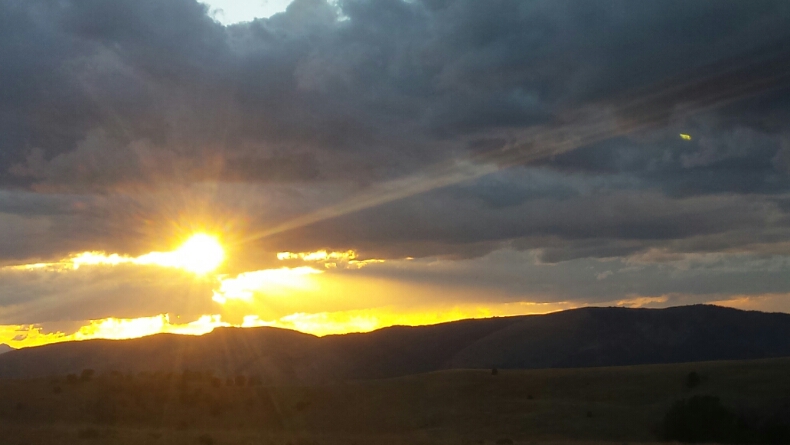
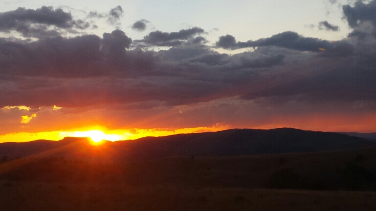
This evening was a superb one for observing the sky. We rolled along the spine of the continent. Rain columns combined. Storms strategized. Light ray blasted through holes in the cumulus. A few distant bolts of lightning sparked off.
It made the hike-a-bike and misgivings of the 4×4 road almost melt away. I suppose having the expectation that this stretch of CDT was ‘agonizing’ set the bar low. I had called it agonizing in my trip report from 2008.
You can’t always trust what you read online. Even if you wrote it!
Now, when Mike Curiak and I were up here, we had 30mph cross winds, so that might have skewed our view a tad. Quite calm this evening. Nice.
The day started out slowly from the Mountain View Motel. Breakfast, talking to hikers, frantic route planning. With another full day of route planning I might be able to figure out a good off-road detour of the Pintlar Wilderness. But we’d already taken a busy zero day, and were ready to hit it.
Speaking of Wilderness, we left Lima on the divide route, having to skip some 40 miles of trail, most of which I bikepacked with Mike in ’08. The Italian Peaks are in Tester’s Wilderness Bill, which is stalled in congress and not likely to pass any time soon. But for whatever reason, the FS is being required to manage it as Wilderness until a decision is made. So, no bikes.
Oh well, at least it is trail I have already ridden. Beautiful trail, I might add.
We rejoined the CDT at Morrison Lake, where it is jeep road along the divide for some time.Â
We found a few trees to set the tarp up in, with a view into Idaho and of the burning sunset.
We have quite a few trail miles and lots of unknowns between here and our next resupply/rest in Jackson. We are already feeling the food pinch. Tomorrow’s mileage will determine just how much we need to ration food. It’s really hard to tell — it could be a 25 mile day, or it could be a 40+ mile day. We’ll see!


Leave a Reply