
Welcome to TopoFusion.com

Latest TopoFusion Headlines
January 9, 2024 - Version 5.8 released, Basic deprecated, users upgraded to ProJuly 18, 2023 - v5.78 now out
October 12, 2022 - Singletracks podcast with TopoFusion author Scott Morris
September 16, 2022 - TopoFusion's 20th anniversary!! v5.76 released
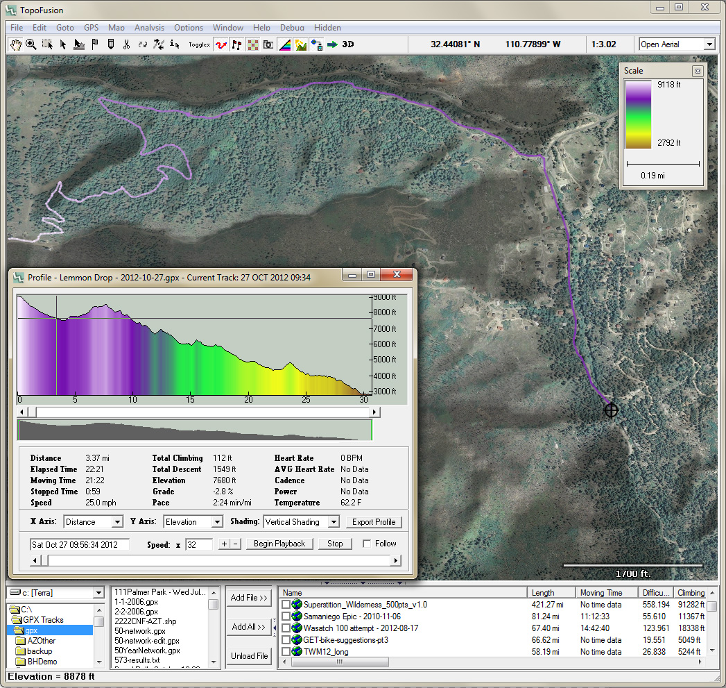
TopoFusion is GPS Mapping software for Windows. It downloads maps (Topo, Aerial Photo and Satellite) automatically from several public map servers (see: available imagery).
Please download and use the free version. It is fully functional except that 1/5th of the map tiles are obscured with the word DEMO and there is a limit of three files open at a time. It is not time limited, so you are free to keep and use it as long as you like. It is a one time fee of $69.95 to purchase a copy and remove the DEMO tiles.
TopoFusion is a classic mapping app, over 20 years old and still relevant today. It excels at fast and powerful GPX/KML file manipulation (cutting, splicing, reversing). Many people use it for route planning and ground truthing. Putting together long distance or unknown routes is where the tools really shine -- especially access to a number of different map servers, topographic and satellite.
From the beginning we have continually nudged the state of the art in mapping software forward. A few examples:
- Efficient, versatile map display engine. TopoFusion runs the way a modern mapping application should--fast and smooth.
- Fusion Combo Maps: Blend topo, US Land Ownership, color aerial maps together to form amazing new maps.
- Networks: Combine multiple GPS tracklogs into a GPS network using our exclusive algorithm. No other software can merge and simplify large collections of data.
- Multi-track playback: Visualize multiple trips recorded by GPS simultaneously.
- Splining/Simplifying GPS data: Interpolate GPS data or decrease the number of points in a track log.
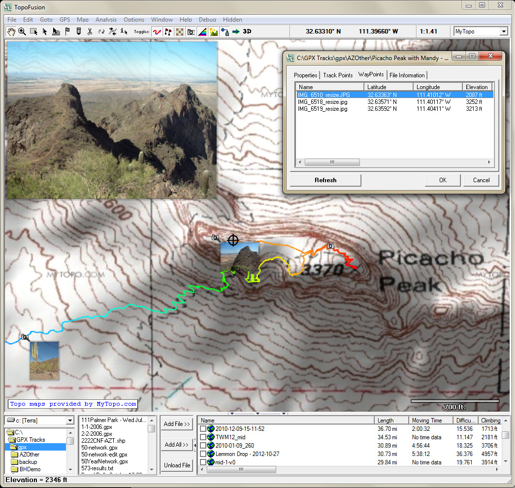
- PhotoFusion: Geo-reference digital photos using EXIF timestamps. Places photos along GPS tracks and produces HTML pages with clickable image maps.
- User Maps: 3-point calibration of any imported image, with transparency.