Version 5.8 released, Basic deprecated, users upgraded to Pro
January 9th, 2024 | No Comments
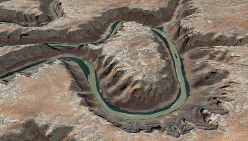
Packrafting in Utah
We’ve got a new release out that fixes a bunch of server issues and a few other tweaks.
Going forward we have eliminated the Basic version of the software. There is now only the Pro version, and that may be renamed to simply “TopoFusion” in the future.
All users that have a Basic version license are automatically upgraded to the Pro version. They can download all future updates by using the same name/code combo from the usual place.
We also removed Mapquest OSM and Open Aerial map types. They were redundant and also water marked. We did not find them useful and they often failed due to a 15,000 tile limit. So for simplicity they have been removed. Fortunately in v5.78 there were some excellent new additions of aerial, terrain and street maps.
Team TopoFusion
Scott Morris
Version compiled and distributed from a campsite on the beach in Baja California

Head over to the Download Page to try TopoFusion out, free of charge.
Registered users refer to your registration email for the download link, or go here to request your code and the download URL.
Full list of changes
For a complete list of changes see the Revision History, or keep reading here for what has changed since the last public release:
5.80 – [1/9/24]
New 2024 Splash Screen
Merged TopoFusion Basic into TopoFusion Pro. All previous Basic users are upgraded to TopoFusion Pro License!
Restored access to USGS Imagery and Color tilesets
Restored access to OZ Topos
Significant speedup for both USGS Imagery and Color tiles
Restored access to Landsat tiles due to server change
Removed Mapquest OSM and OpenAerial tileset types (email if you need access to them)
Slight change to double clicking of active track (for track ordering)
5.78 – [7/18/23]
New 2023 Splash Screens
Fixed Elevation downloads
Tileset 7,8,9 now public [color aerials, street, terrain]