New version 5.46 – SSL and simplification
August 11th, 2017 | 3 Comments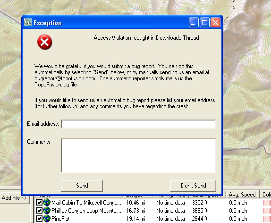
Got a new version out that fixes a bug that has been quite mysterious. If anyone out there has done much multi-threaded programming, you know how random certain problems can be. In this case I could not reproduce the problem on my main development machine no matter how hard I tried, and despite near daily use of the software (Yes, I am still the primary user of TopoFusion — use it all the time).
Finally, it started occurring, for unknown reasons, while using the WiFi at the Salida Public Library. From there, the game was afoot!
The error cropped up with an “SSL refcount error” then oftentimes a crash in the Downloader Thread. Turns out the documentation on the OpenSSL library is pretty lacking, but I believe the bug is vanquished! Cheers! Applause!
Also restored in this version are OpenTopoMaps, Juicy Trails and Open Cycle Maps.
I’ve finally given up on MSRMaps.com (formerly Terraserver) coming back online. That was the server that got TopoFusion off the ground, but it seems at last to be dead. RIP Terraserver, thanks for all the many maps and adventures!
As a result, the software has been simplified to remove those tilesets so as to not cause confusion to new users. If you have a bunch of those maps cached, they’ll still work, but you may need to enable by editing the TopoFusion.ini file and changing UseMSRMaps=0 to UseMSRMaps=1
Update your TF and check out the new version (full list of changes below), or if you are new to TopoFusion, go ahead and try the demo. And as always, let us know what you think, especially if you have a suggestion for a new feature or different way the software should work.
Thanks!
Team TopoFusion
Scott Morris
Version compiled and distributed from the mountains of Colorado, at near 10,000 feet.

Head over to the Download Page to try TopoFusion out, free of charge.
Registered users refer to your registration email for the download link, or go here to request your code and the download URL.
Full list of changes
For a complete list of changes see the Revision History, or keep reading here for what has changed since the last public release:
5.46 – 8/11/17
Fixed SSL refcount error
5.45 – 7/25/17
Further work on SSL refcount error
Further work on SSL through proxy server
5.44 – 7/16/17
Added API key for Open Cycle Map tiles (removing watermark)
Added support for “Basic” type authenticated proxy servers
Fixed ‘divide by zero’ in mercator tilesets when at extreme latitudes
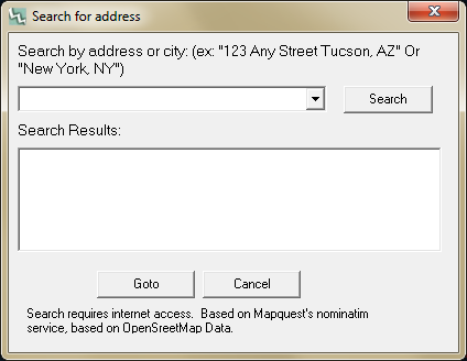
Improved error checking for lat/lon ‘Goto-coordinate’
Added “Toggle Downloading” to the Toggles menu
Restored access to Juicy Trails maps
Changed Tileset dropdown to always be in ‘simple’ mode (removing 0.003, 0.062
numbered tilesets), for easier use.
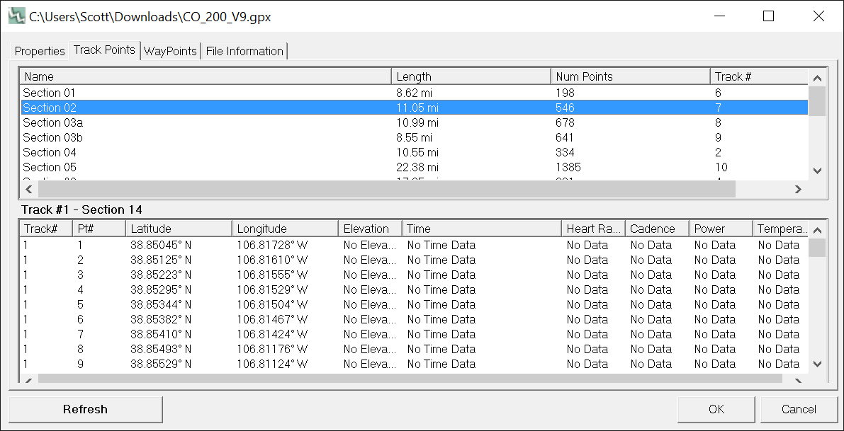
Increased precision of track distance, in File Properties dialog only.
Removed menu options and tileset dropdown for old style Topo/BW Aerial maps
MSRMaps.com continues to be offline, does not seem to be coming back
To enable on legacy copies of TopoFusion, edit TopoFusion.ini file and change
UseMSRMaps=0 to UseMSRMaps=1
5.43 – 4/17/17
Fixed elevation download (server now requires HTTPS)
Fixed waypoint symbols in KML files with spaces
5.42 – 3/27/17
Added waypoint icons (all 96 suported in TopoFusion’s GPX format) to KML
exports. Icons now import to google maps, for example.
Added quicker reporting of Open Aerial/Mapquest over quota download errors
Improved prompts for Open Aerial/Mapquest over quota error
5.41 – 3/10/17
USGS Imagery restored (now using HTTPS)
5.40 1/24/17
Public release of previous betas
New 2017 Splash Screens
5.39 1/15/2017
Added ability to read SSL-encrypted (secure) tiles
Restored access to the following tilesets: US Topo, Color, Open Topo Maps (which
now works worldwide), also ‘7’ key.
Changed ‘isMoving’ to include missing time stamps and negative times, for
better consitency in files that have bad time data (e.g. merged files)
PhotoFusion thumbnails now scale up with Export View exports, using the
Scale fonts/etc option.