Screenshots and Movies
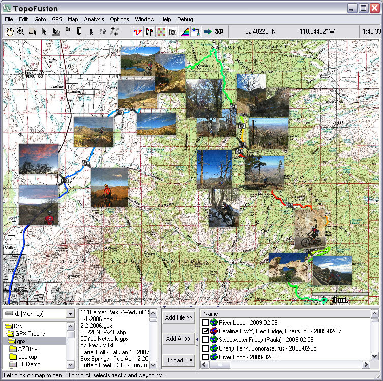
TopoFusion demo on YouTube (1.5 minutes):PhotoFusion - geotag your photos and automatically display them on the map:
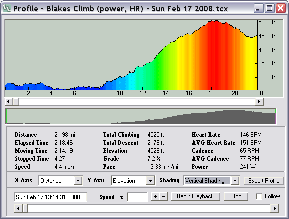
Profile tool:
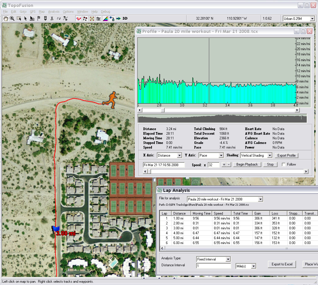
Color Aerials, Track Playback, Running Pace Plot:
User Map Calibration (with transparency):

GPS Playback + helmet cam footage (2.5 minutes):
GPS playback + Helmet Cam from Scott Morris on Vimeo.
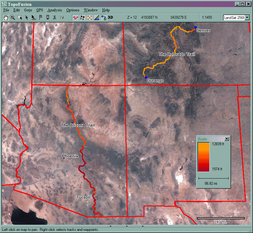
Large scale mapping - Landsat Imagery - Arizona and Colorado Trails
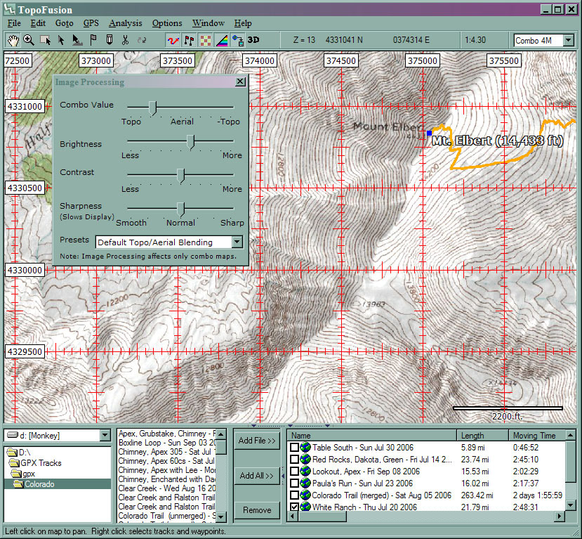
Topo Map, UTM grids, Image Processing
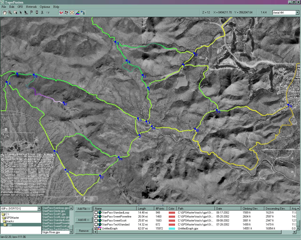
Black/White Aerial, Trail Network
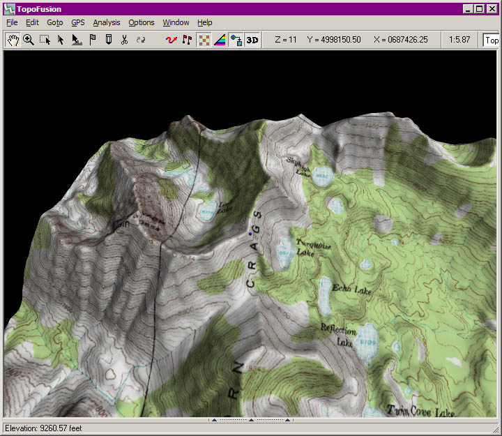
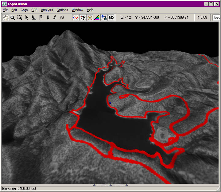
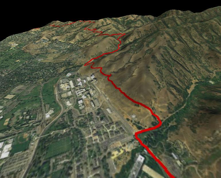
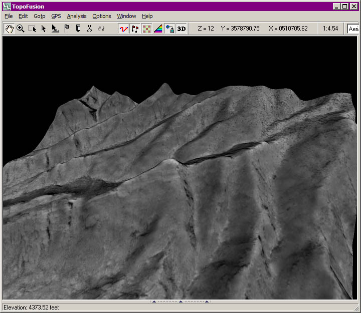
3d Visualization