Our time in Tasmania was too short. We’d planned a month, but only got just over two weeks. The last several days were a wash that we spent hemming and hawing over whether to head home or not. With travel restrictions emerging just as quickly as flights were disappearing, eventually the choice became clear: it was time to head home early. Good thing: the Tasmanian Premier eventually declared that all tourists should go home. The island was locking down.
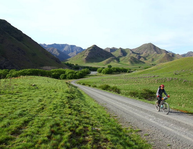
It was disappointing, but it was hard to feel too bad for us. We’d spent four months in New Zealand and some time in Tassie. We had successfully skipped another northern hemisphere winter, traveling all over the place while supporting ourselves with mobile-based earnings. We had seen mountains tall and rivers wide. We were lucky.
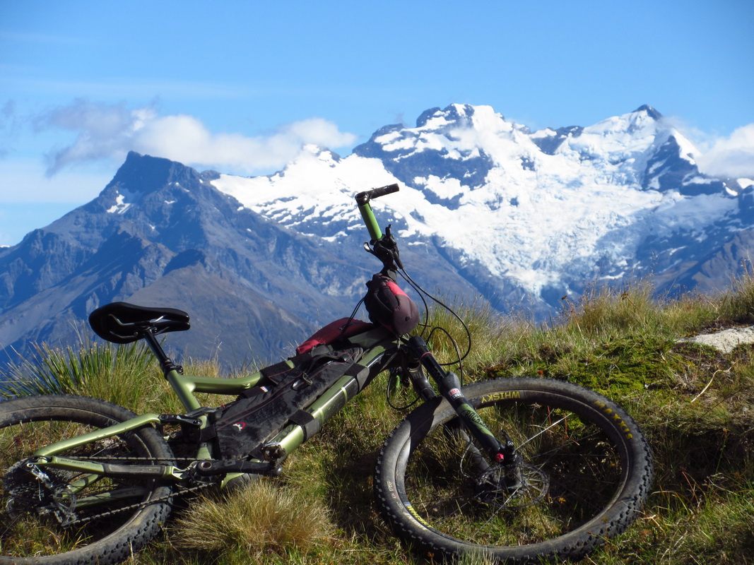
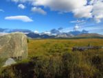
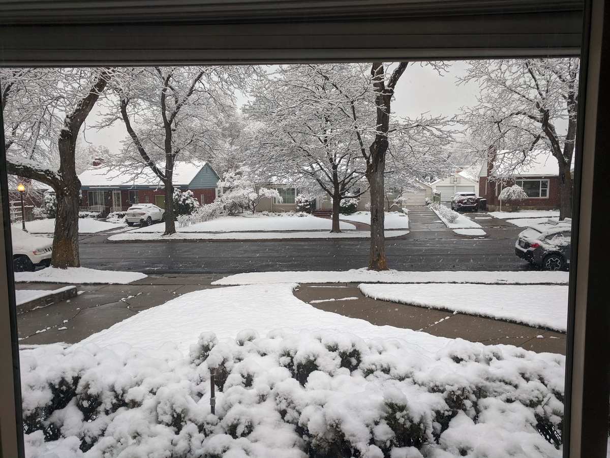
And it was nearly April, so spring was coming. Well, this is what spring in the Rockies looks like:
The house that I grew up in was available for us, with my parents choosing (wisely) to shelter out the pandemic in their St. George desert house. We are fortunate to have it (thanks Mom and Dad!) to effectively and comfortably self-isolate.
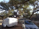
The funny thing is that though we are ‘home’ we are still living out of one duffle bag each. We only have what we took with us back from Tassie, so the T-shirt count didn’t even increase by one! We don’t have our bikes or our gear. The Scamp is down in St. George, Squeaky the van is in Winter Park and our bikes are in Boulder. We’re scattered and it’s not how we planned it. But it doesn’t really matter since now isn’t the time for adventures or traveling, anyway.
I am sure we could figure out how to effectively Scamp in an isolated way, but the truth is a big part of the enjoyment of that lifestyle is not so isolated: camping with friends, visiting coffee shops and restaurants, taking minor risks in remote places, working in libraries, interacting with locals. Right now many locales and locals are not encouraging visitors or outright banning them. I know some mobile folks are making it work, and I’m impressed, but since we have the option to be indoors and all our favorite places are pretty much shut down, for now there’s not much of a decision to be made.
The truth is we were pretty travel weary, and we knew it. A consistent place to lay our heads and a roof overhead is probably what we needed more than anything. And for the first two weeks of isolation this was true: deep gratitude and nice recovery time.
The only fly in the ointment for me is that Trackleaders took a nose dive very suddenly, with all events canceled. At first it was a bit of a relief. I needed a break from working nearly every day and a constant barrage of emails. It was refreshing to check in and see no new emails in the morning! But it gradually settled in that I had lost my job, even if only temporarily. It’s a job I love and have been very lucky to have. It’s a unique job that I’ve built and kept alive for over a decade. Part of my identity is wrapped up in it. So it’s a little shocking to have that fall out from under me with very little warning. I’m missing it, already. The only thing I’ve done is talk a few people *out* of doing ITTs for canceled races, which may not have been a good business decision but was probably the right thing to do.
I think some events will figure out ways to safely operate in the summer, and the fall is looking quite busy given how many events have rescheduled. Probably too busy for us, if they all happen!
When we left New Zealand on March 4 we were aware of the new corona virus, but there were no travel restrictions other than China and no talk of quarantines or staying home. It seemed like it might affect our plans but there was no reason to change anything yet.
A couple flights brought us into Hobart, Tasmania. We picked up a cheap rental car and headed into the city center. Last year in New Zealand we met Hobart residents Mark and Jen Oates. I think everyone that attended the NZ packrafting meetup that year feels lucky to have met them. Mark impressed us all with his packrafting skill, instruction and ability to keep people safe and on task. He seemed larger than life.
He was so kind as to offer his house as a base, and our timing was particuarly fortuitous: he was leading a packrafting trip and putting on an instruction course on the first two weekends we were there. Lucky us. We had planned to make a first pass of Tassie without bike or boat — keep it simple and then go back to dig deeper. But we couldn’t turn down two weekends of packrafting with loaner boats and gear.
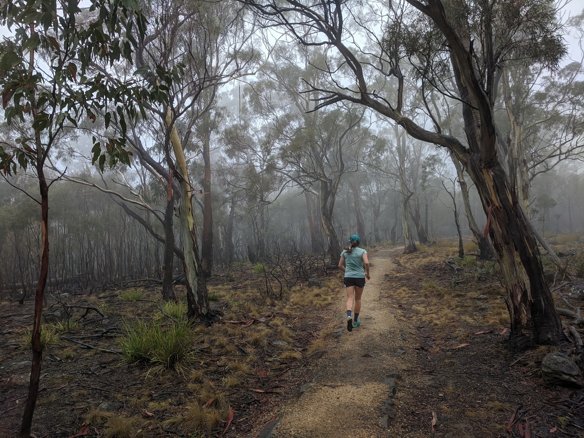
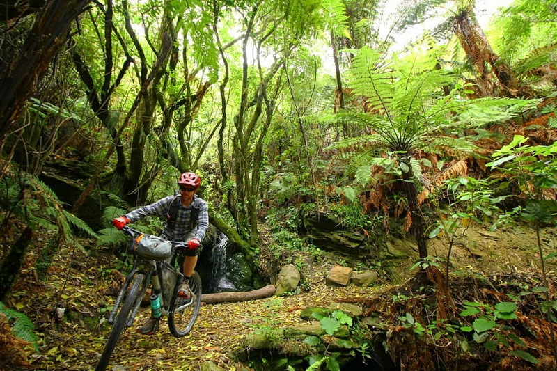
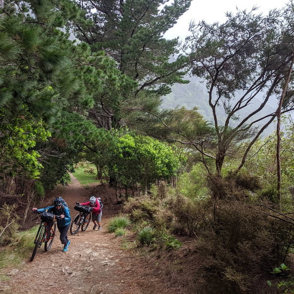
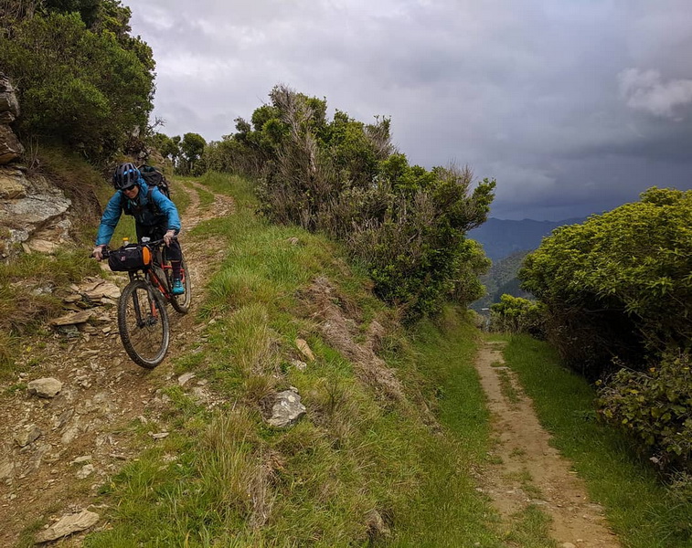
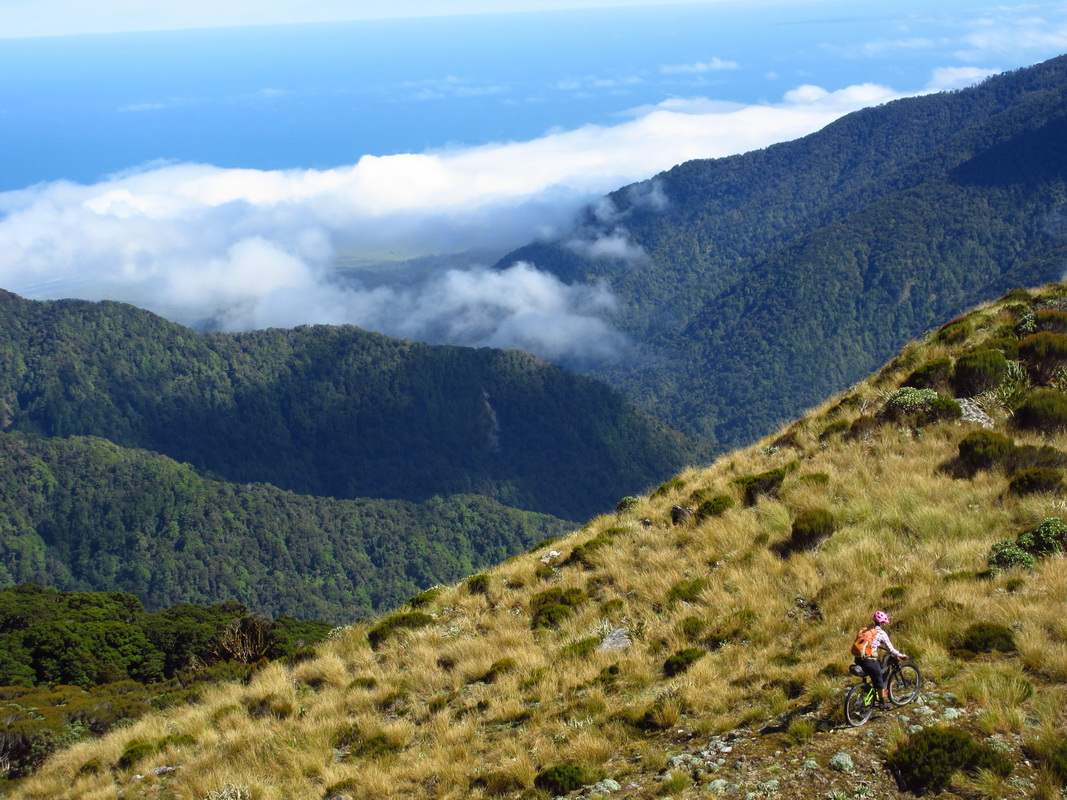
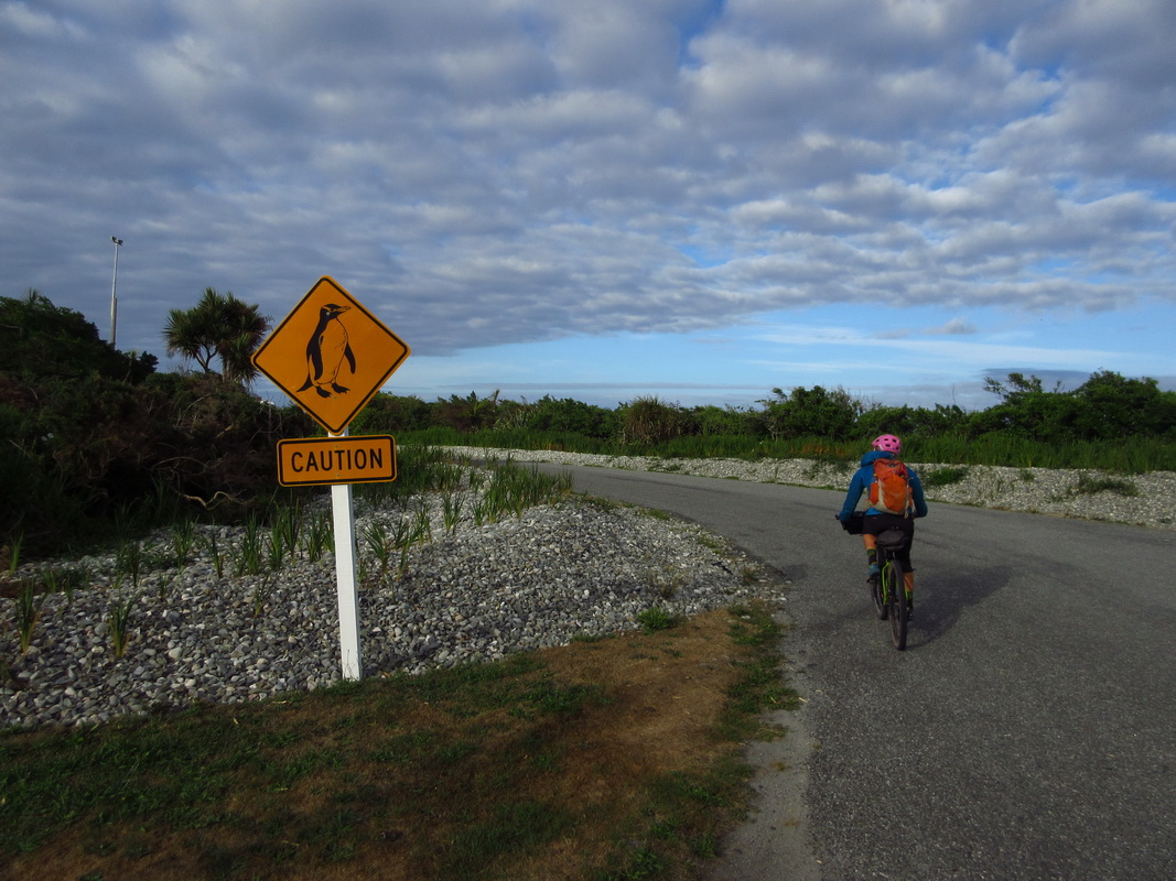
We ran from Mark’s house into the hills around town. We’d heard that Tasmania was the ‘New Zealand of Australia’ but it’s such a different place! Excitement grew as we entered spooky eucalyptus woods, heard strange bird sounds and caught sight of bouncing marsupials off in the periphery. Time to explore a new place!
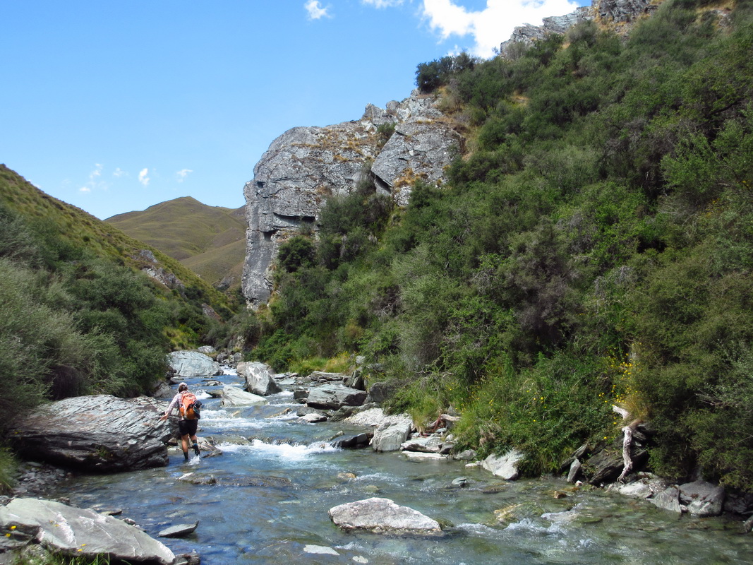
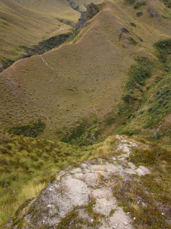
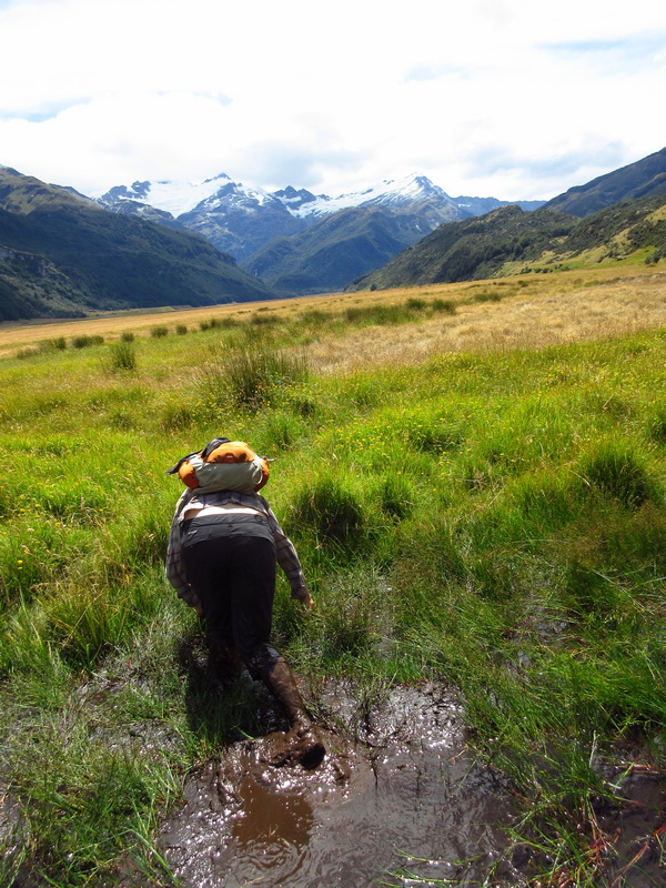
We headed some three hours north (to the other end of the island!) camping near Liffey falls. Walking the well formed trail my eyes were trained for snakes. There are three snakes in Tassie and all are poisonous. I’ve never had an issue with snakes in Arizona, so while the logical part of my brain was convinced it would be similar here, it was hard not to be overly cautious in unfamiliar surrounds. I figured I needed to tune up my vision system’s snake detector algorithm, too, having not spend much time in AZ snake season since moving into the Scamp.
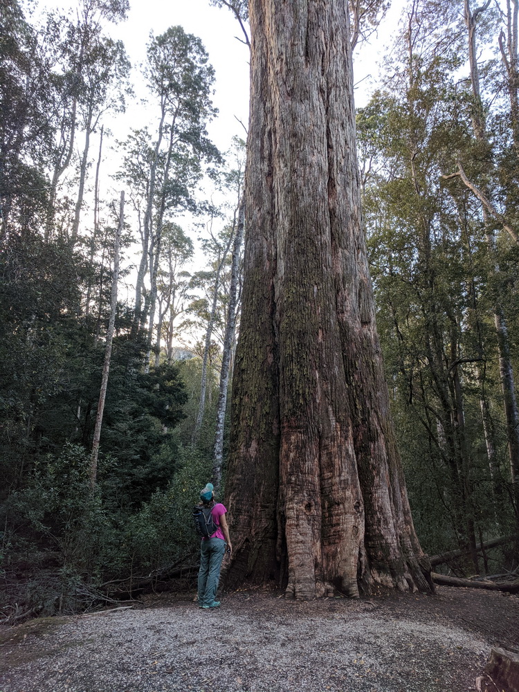
As it turned out, we didn’t see a single snake in Tassie, and that’s OK with me. There was plenty of other fascinating wildlife to discover, not mention strange and gigantic trees.
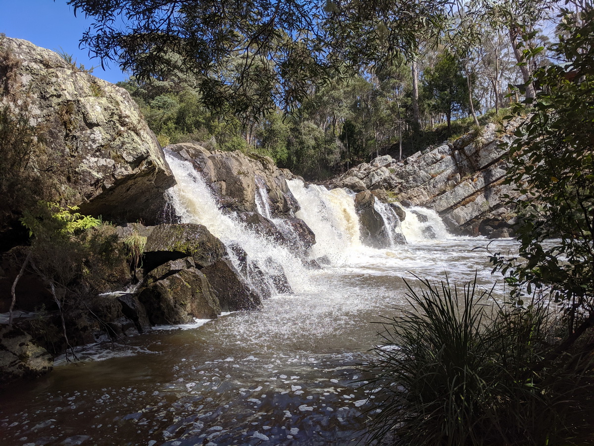
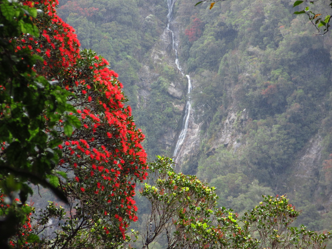
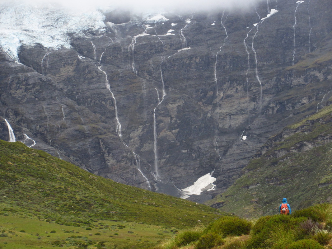
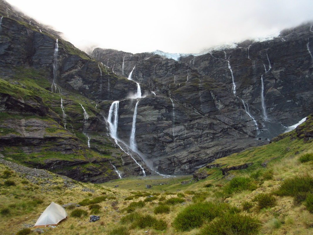
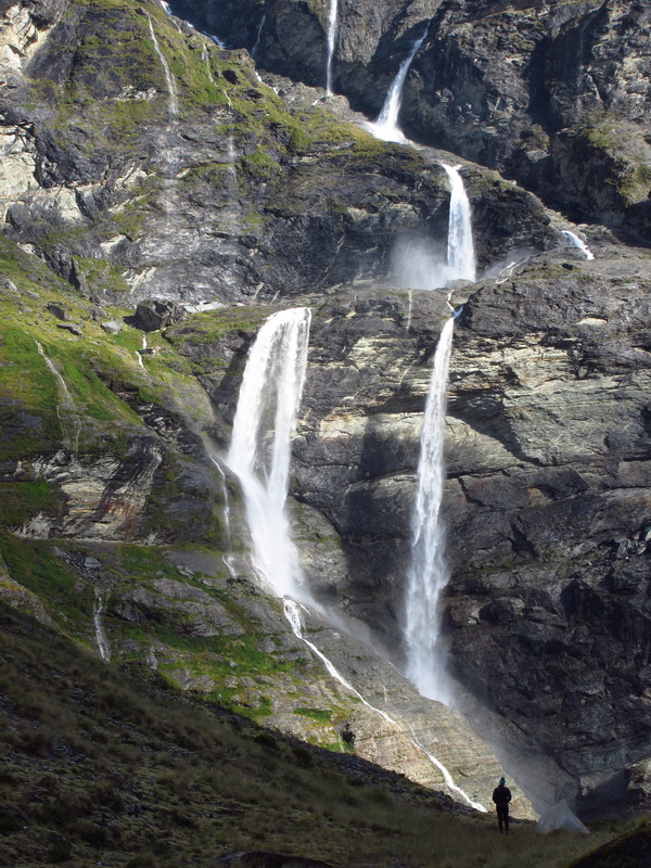
There might be a higher denisty of waterfalls in Tassie than anywhere else we’ve been–including New Zealand! Seeking out short hikes to waterfalls quickly became our default activity of the day. It seemed no matter where we were there was always a cool waterfall around.
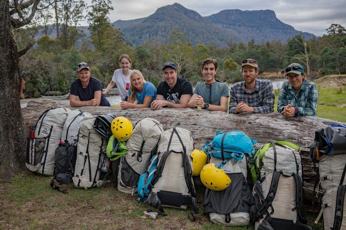
photo by Mark Oates
We met up with Mark, Jen plus crew and it quickly turned into a Hyperlite convention. The packs are popular with packrafters for good reason! Mark’s nephew and brother-in-law were along, as well as a fellow outdoor instructor and his daughter. It was a wonderful group of people.
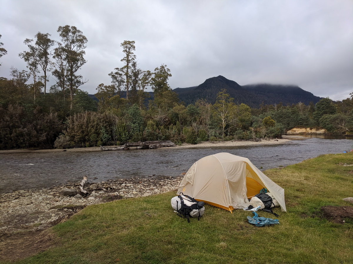
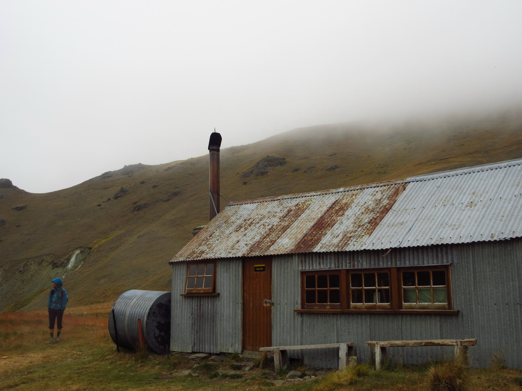
A short walk had us camping on the banks of the Mersey River. Conversation around the fire mostly focused on food and candy — what exists in the USA versus AUS and different names for different things. That was fun, but I also really appreciated the chance to talk with locals and try to understand their relationship with the landscape and with recreation. I’ve found that each place is a little different, and yet we all have similar goals and aspirations. The local perspective and knowledge on this trip was huge.
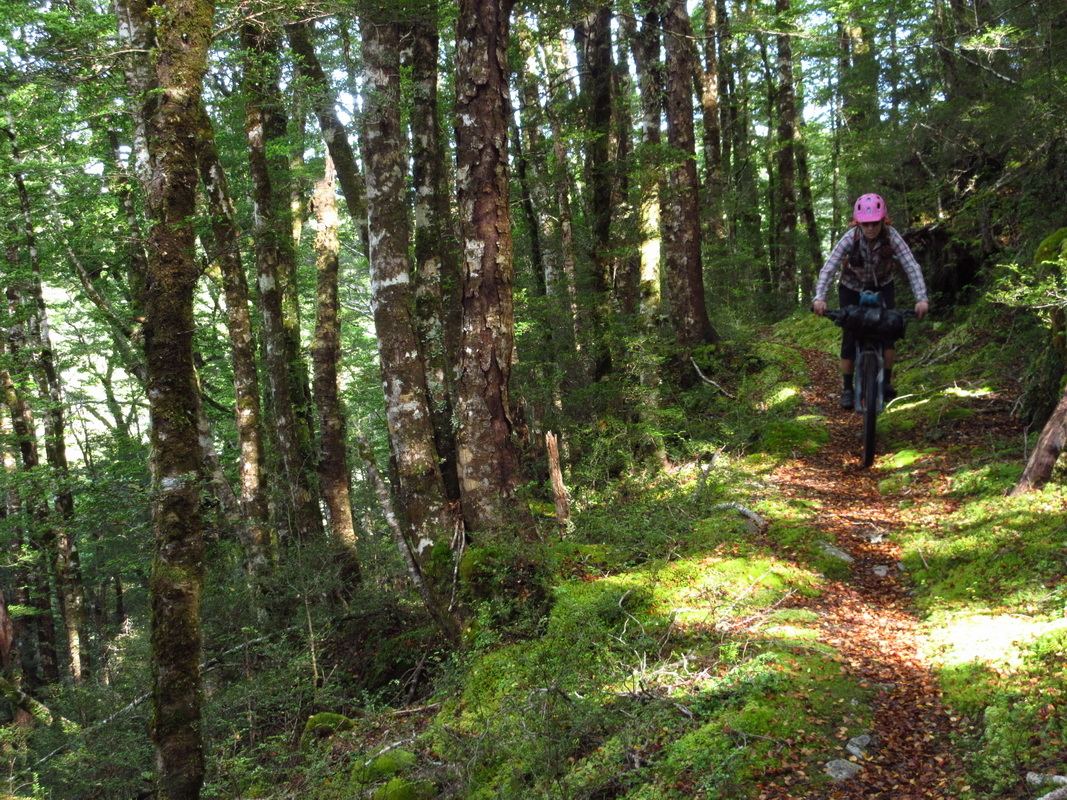
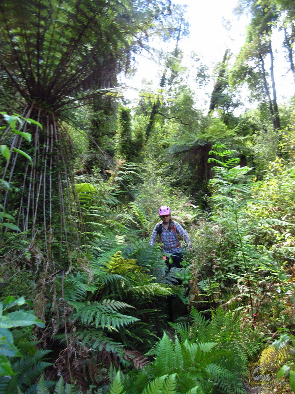
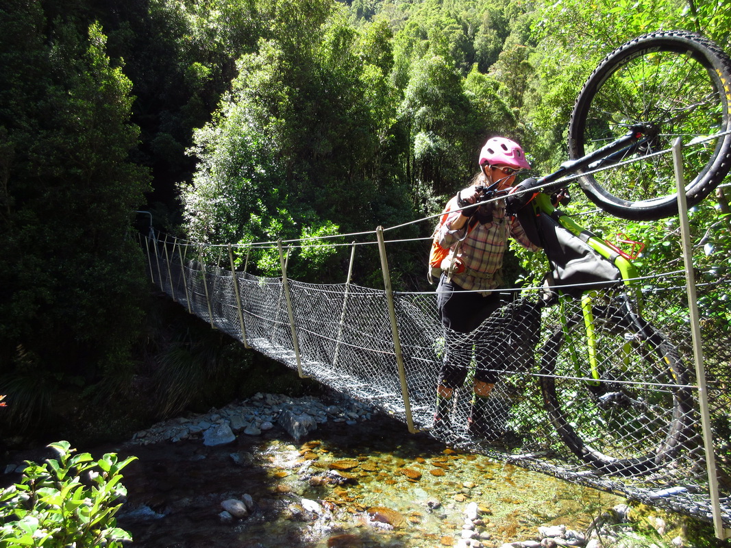
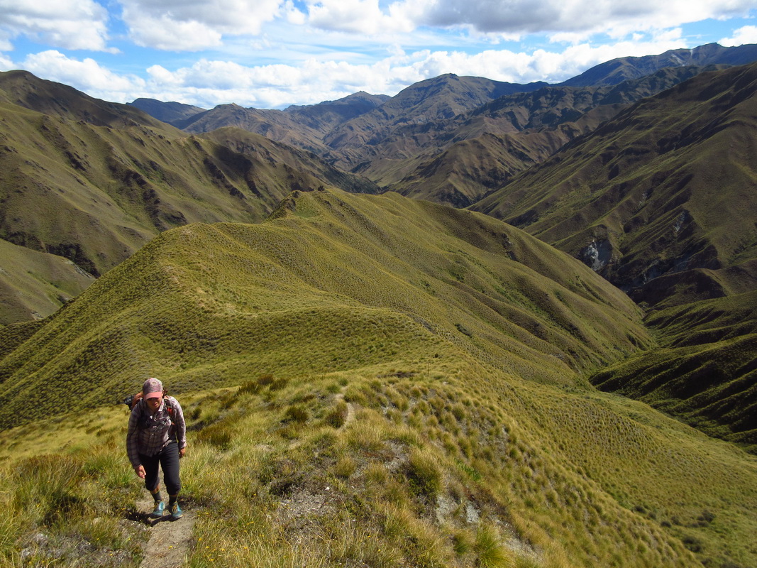
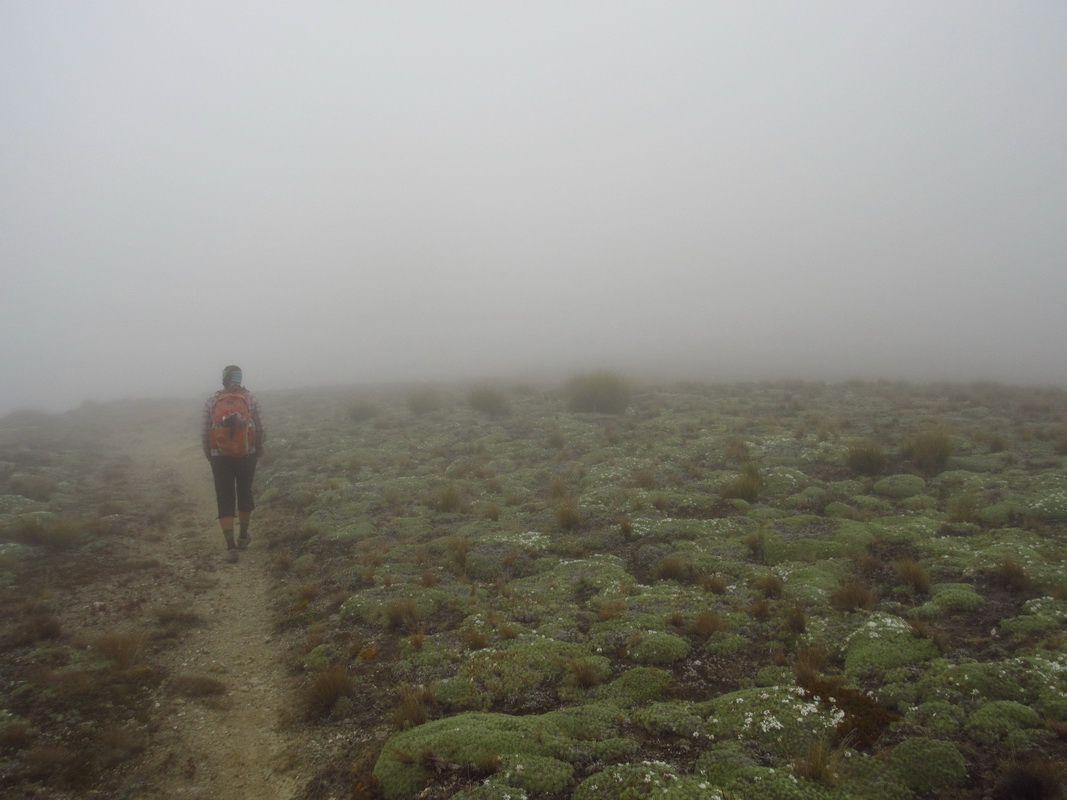
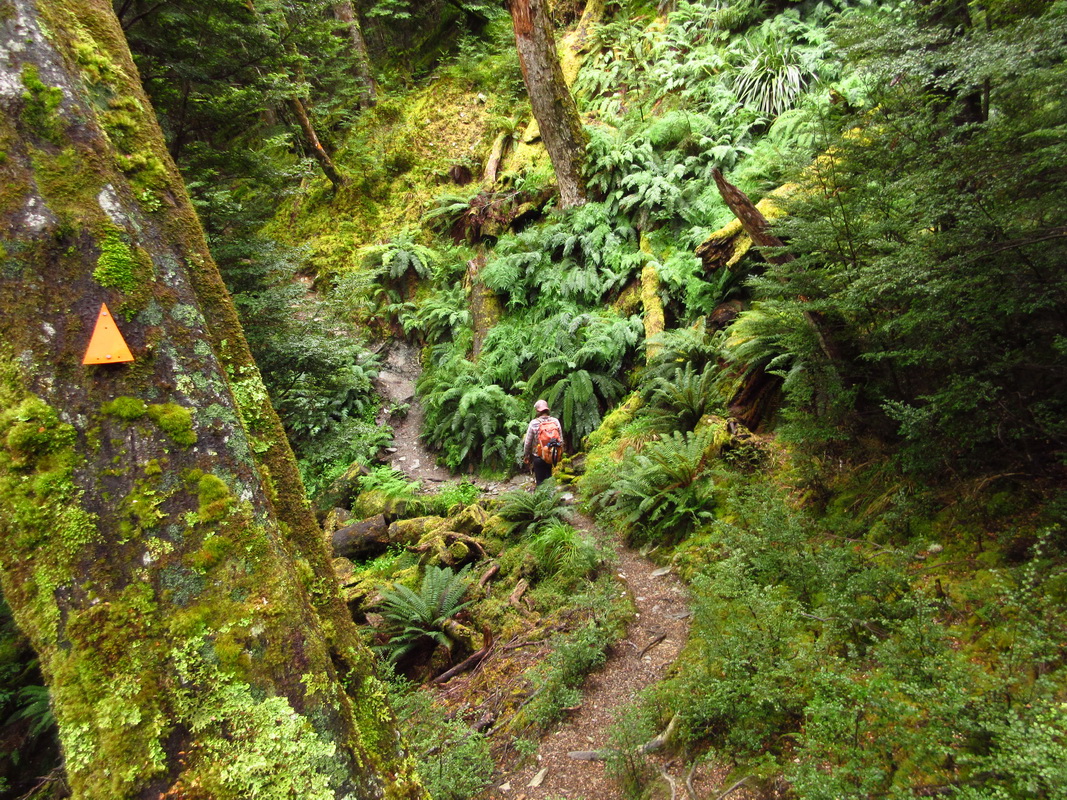
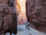
In the morning we packed up the boats and headed up river. Some of the walking looked like this:
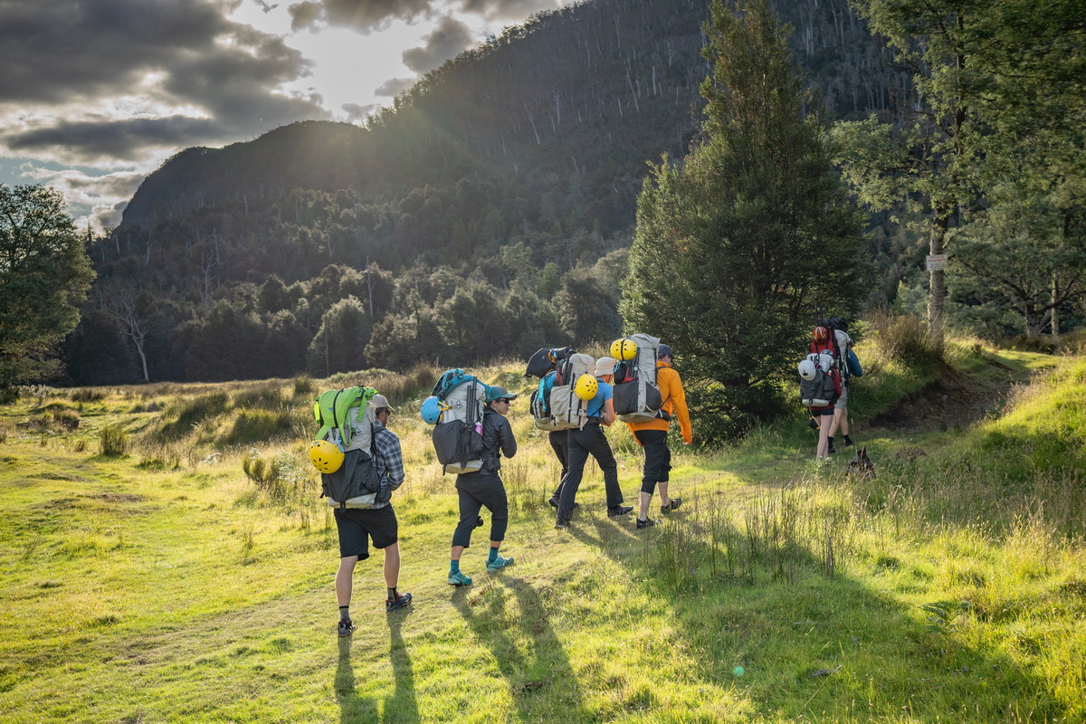
photo by Mark Oates
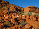
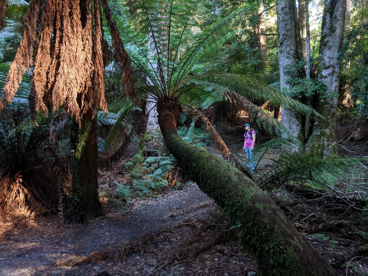
And some of it looked like this:
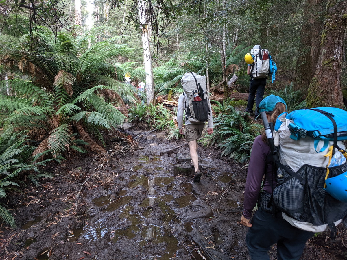
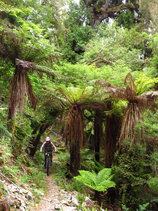
Ah yes, tramping! They do that here too. Fungus and fern were found on what was a lovely forest walk.
There are no sand flies in Tassie and I’m not sure we even saw any mosquitos. However, there are leeches! Most in the group got a few that latched on. I got lucky and didn’t find any but Eszter got several that were tricky to remove. Jen had a nasty one that found a vein on her neck (it got under her drysuit gasket) — it was gnarly and resulted in an impressive stream of blood! I believe most of the leeches came from off trail adventures when we were making contact with vegetation.
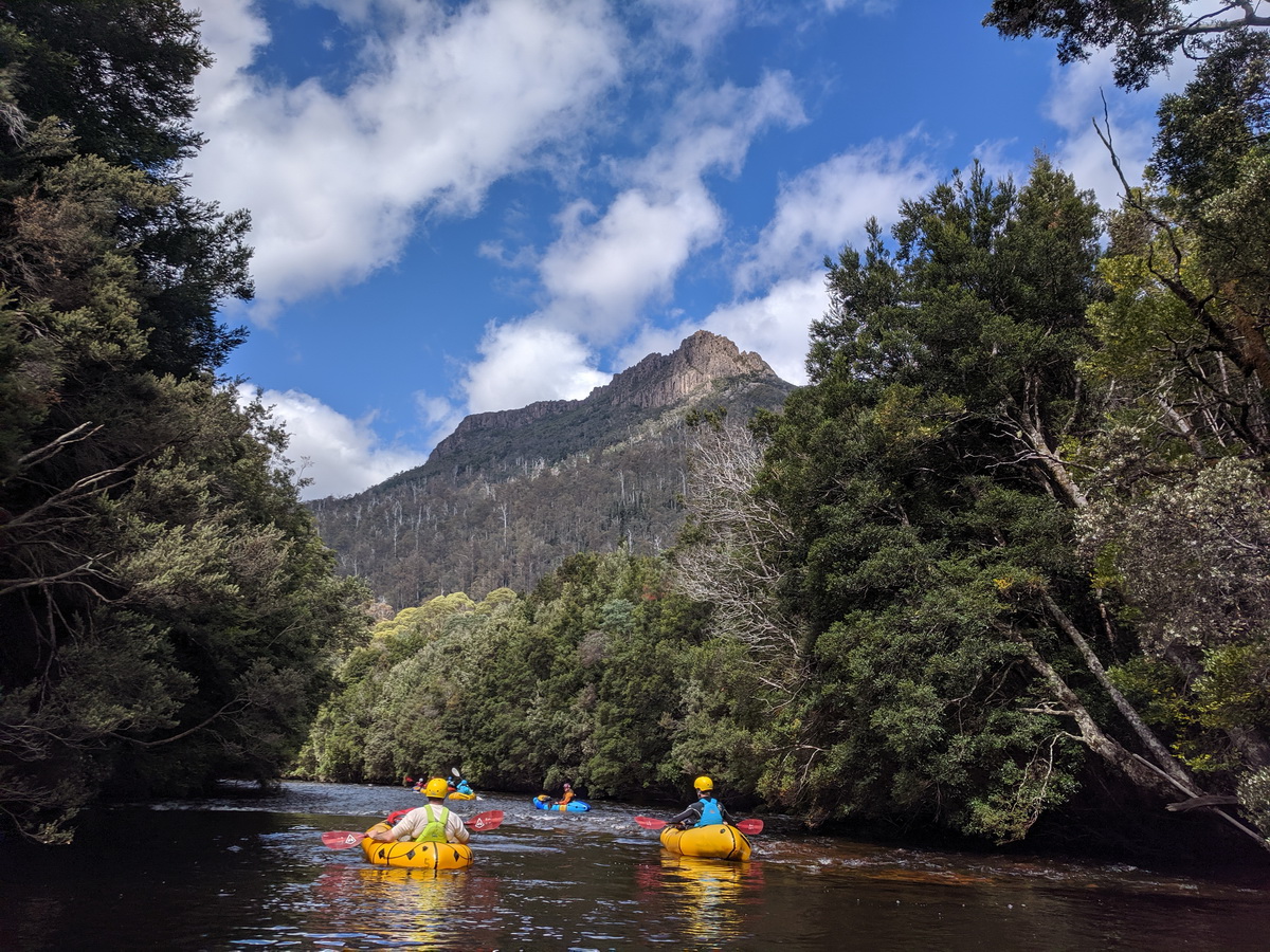
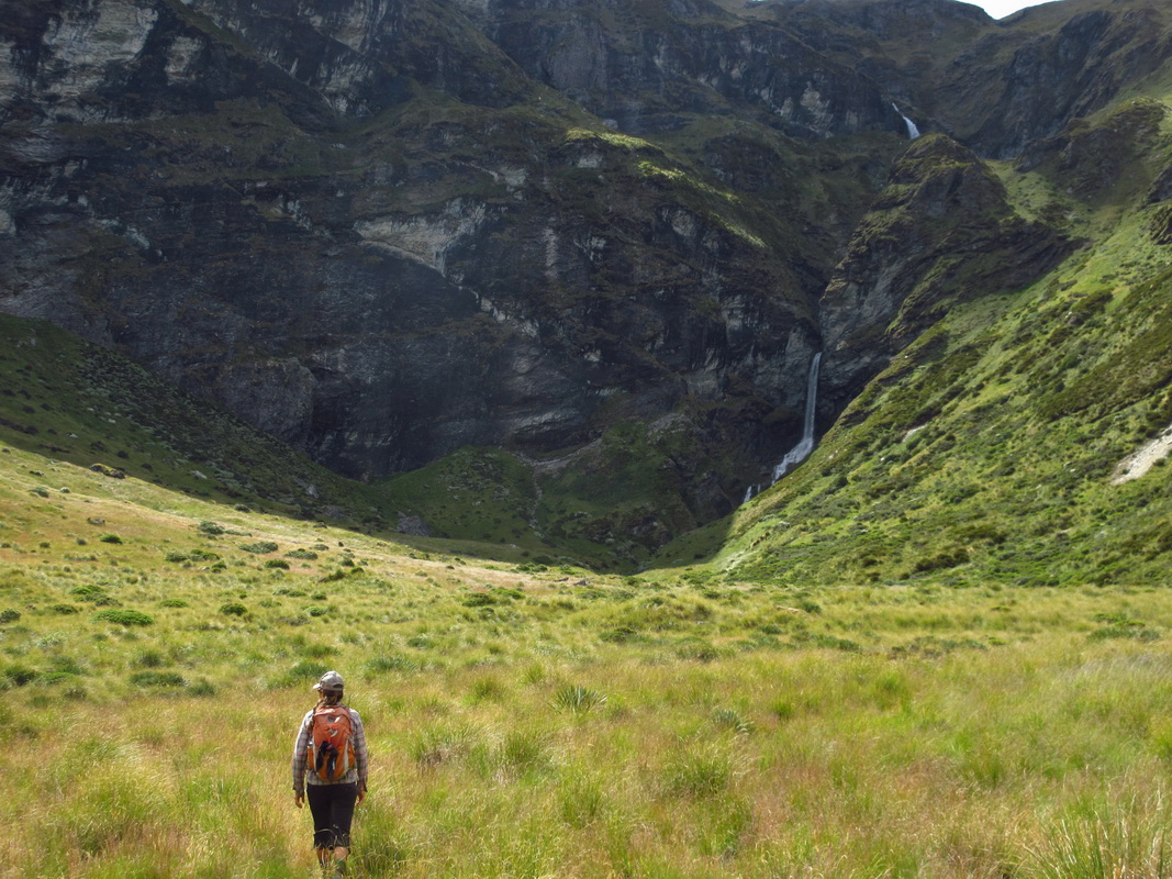
How fortunate were we to be here, now putting boats on the water in a wild and mysterious canyon.
Mark had described the float as ‘easy’ and the fact that two teenagers with minimal packraft experience were along was a comfort for my meager whitewater skills. When we reached the first horizon line and apparent 5 foot drop it gave pause. Jen was standing at the top in shin deep water. I approached and asked “should I get out and take a look first?” She gave the aussie version of “she’ll be right” responding with “nah, you’ll be right.”
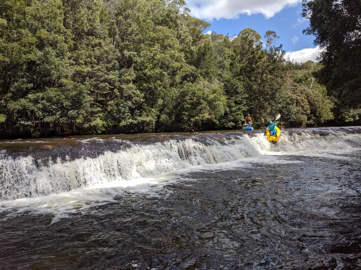
And sure enough when a drop has a transition, a roll out, there isn’t much you can do wrong.
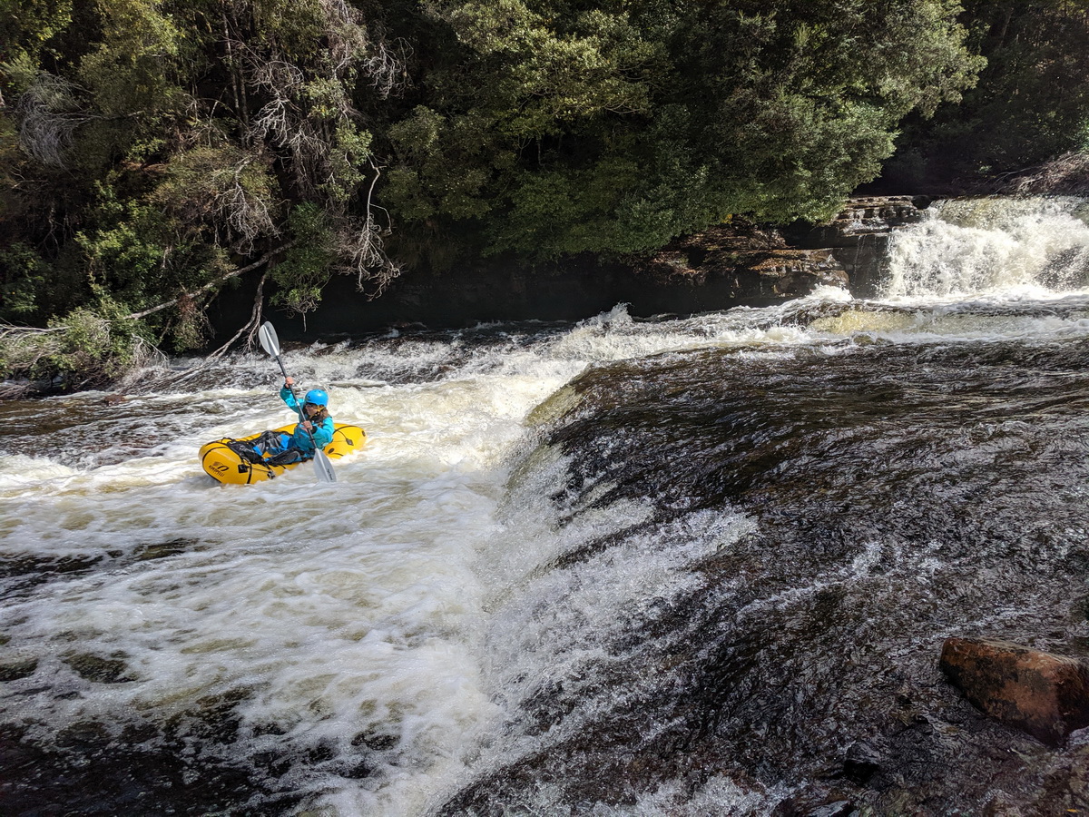
Yeeehaw!

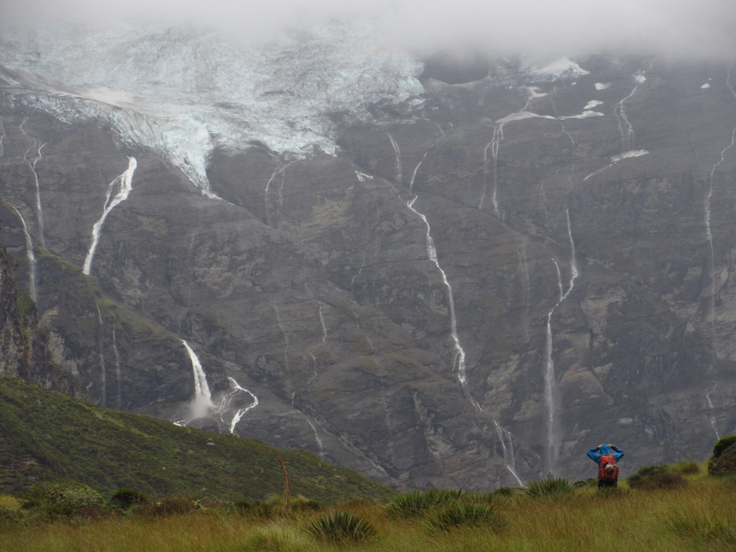
There had been some mention, in passing, of some waterfalls along the way. I assumed that meant we’d see some crashing in from side streams. As it turned out the waterfalls were huge drops in the river itself!
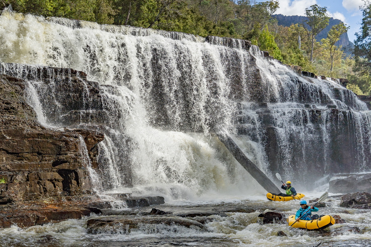
photo by Mark Oates
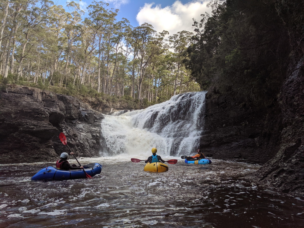
We scrambled around and down, sometimes getting back in the river for the final mini cascades. Looking at the above picture, which Mark took and is a rare photo of both of us, it doesn’t seem real. What a place, what a river, and what a trip.
The kids were eating it up — loving it. So were Eszter and I!!
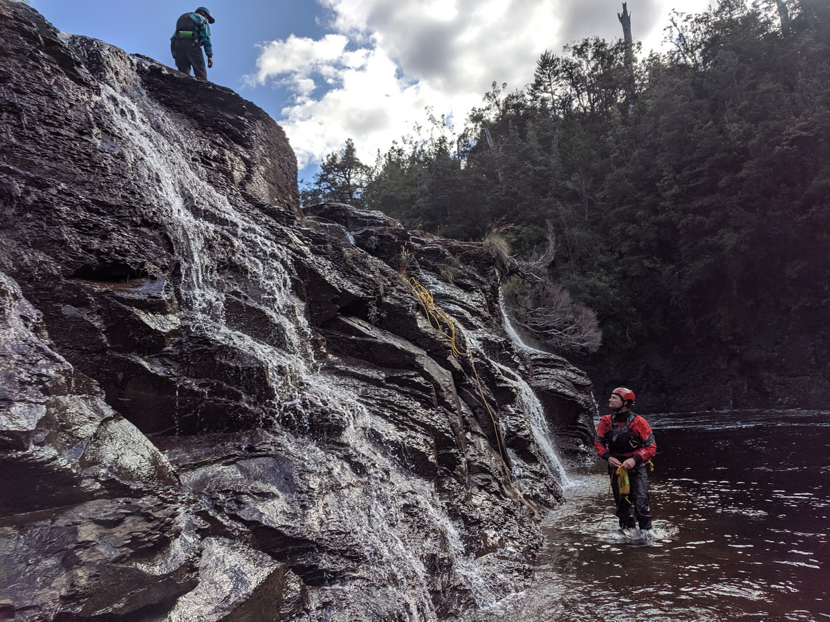
A few ropes came out for the last one, mostly due to the slippery rocks. Once again we were so lucky to have Mark, Jen and Todd to guide us on this trip.
We all reluctantly left the wilds, driving back to Deloraine to go our separate ways. Mark and Jen had classes to teach and I had the Iditarod (re)start to manage, with Matthew out on the ice in Alaska. We checked into an Airbnb late that night and over the next couple days of reliable internet began to wonder how Covid-19 was going to affect our travel plans.