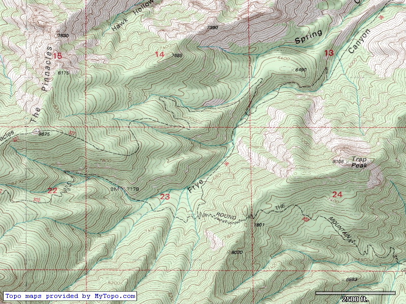
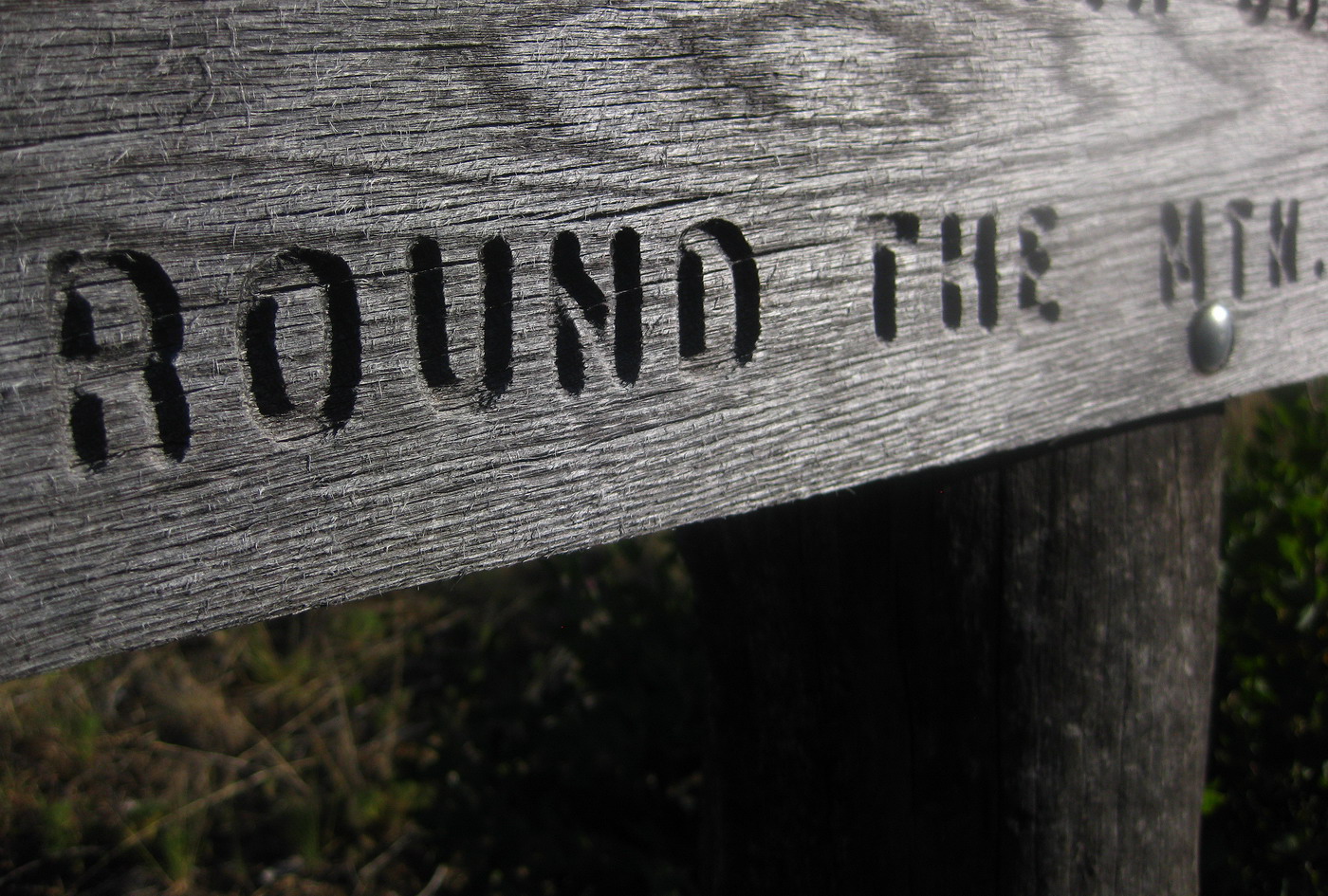
There’s a little trail called Round the Mountain in the Pinaleno Mountains (aka Mt. Graham). It’s the kind of trail that screams at you from topo maps. Explore me! Ride me! Switchbacks beyond belief and deep canyons unknown… how can you resist me???
(*) New myTopo maps in TopoFusion, coming soon!
I first went ’round the mountain’ seven years ago. It was one of my most ambitious solo rides at the time, and the writeup is one of my favorites:
http://www.topofusion.com/diary/2003/10/06/round-the-mountain-epic/
Since then two fires have ravaged the mountain, and Round the Mountain was hit badly. But I kept hearing reports of trail work, most recently from Brett Tucker, fresh off his Sky Islands Traverse. While talking to Lee on the phone I mentioned this, and he too had seen the Round the Mountain squiggly line, years ago. He had felt its pull and always known he needed to ride it.
Chad joined us as well, always a sucker for an adventure ride. We headed to Mt. Graham in the afternoon, arriving with enough time for a 2 hour ride on Arcadia Trail.
We didn’t make it far. The trail is scorched and blocked by scores of trees.
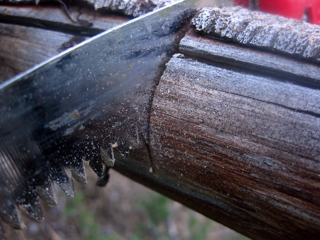
We did some token trail work, but it’s got a long ways to go. Too bad, this trail used to be my favorite climb in all of AZ.
Post memorial day, the campground was empty except for the host. The quiet forest lulled us to sleep.
Lee woke us up with the sound and smell of sizzling bacon. With an early start and Chad’s special power breakfast in our bellies, things were looking good.
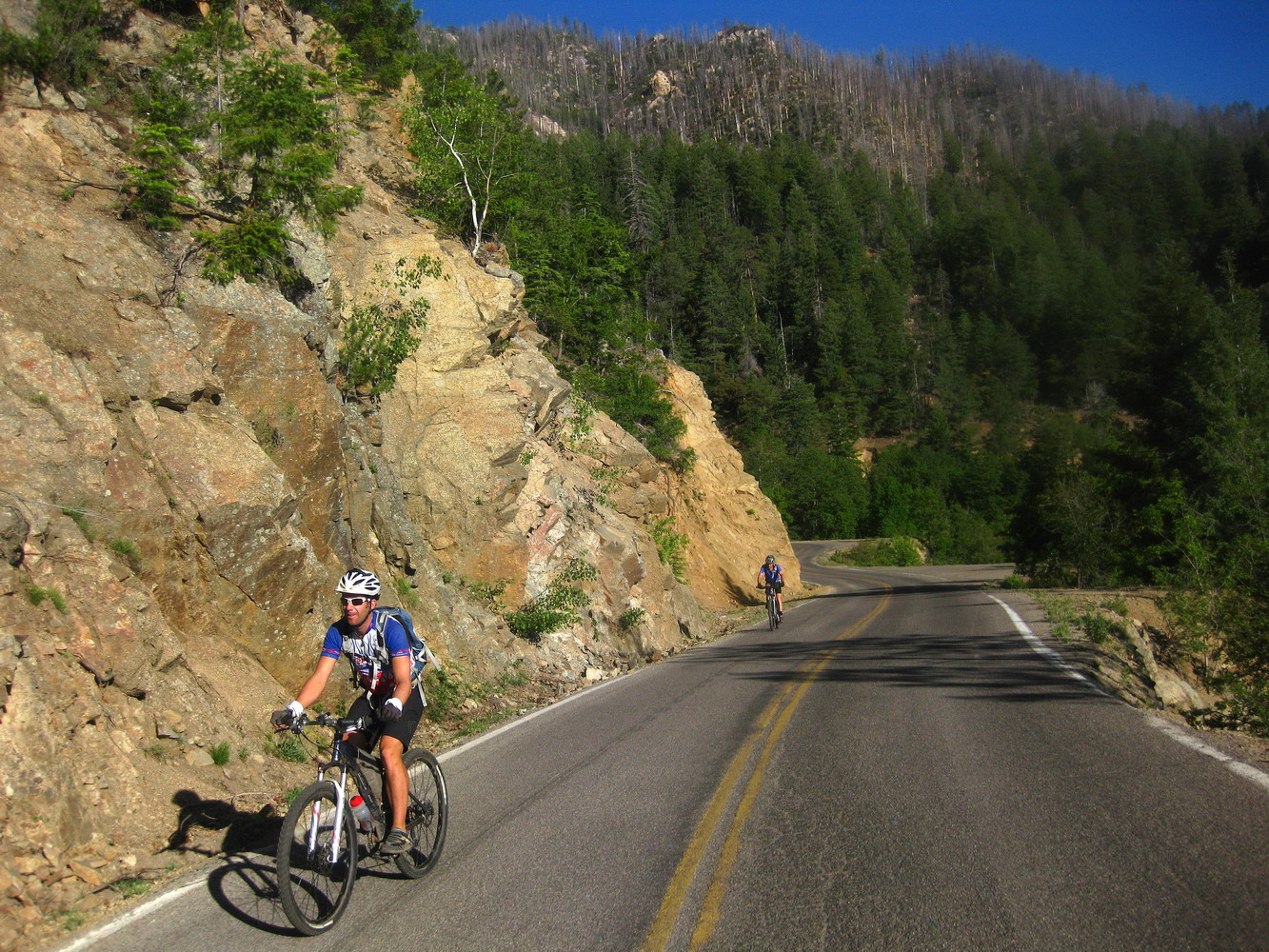
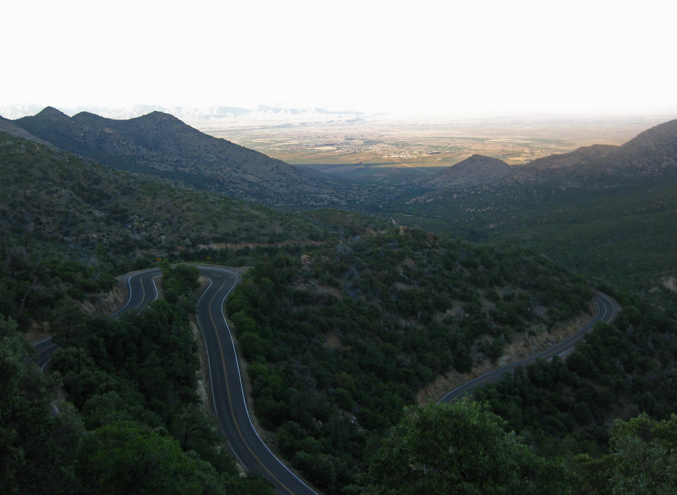
The “Swift Trail” would be our self powered shuttle route — taking us end to end on the Round the Mountain Trail, and extracting thousands of feet of elevation gain out of our legs.
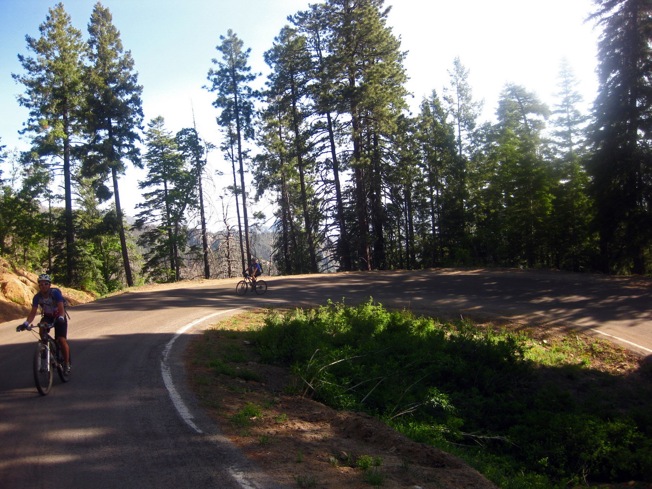
We rode on both sides of the road, soaked in the airplane-like views and generally reveled in the forest.
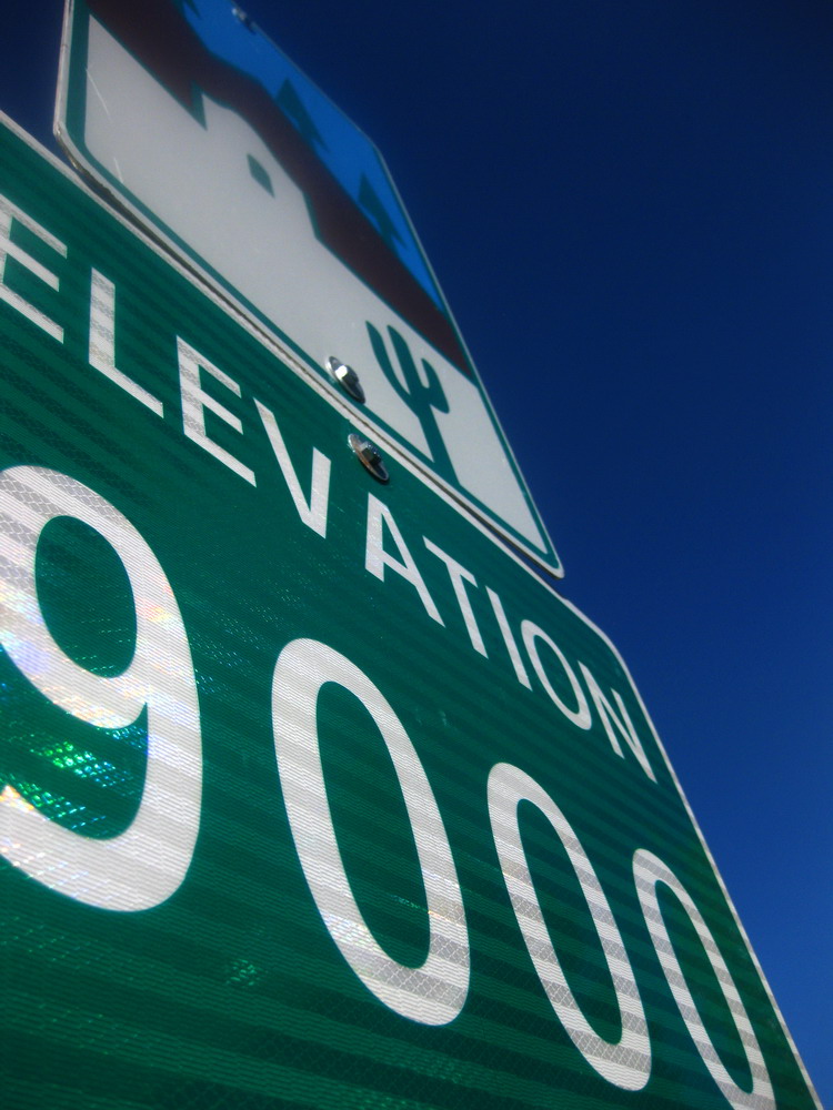
Forests and high elevations become prized commodities now that it is June. Every second up here is one well spent, one treasured.
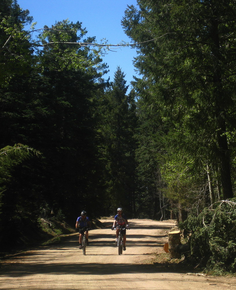
It turns to dirt quickly enough, snaking its way along the backbone of the Pinalenos. The road has only been open for ten days, and some inmates were still clearing trees off it.
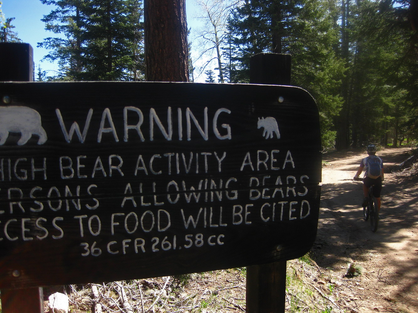
We saw scat and prints, but no bears!
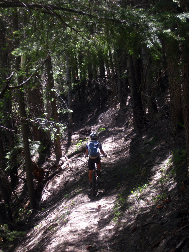
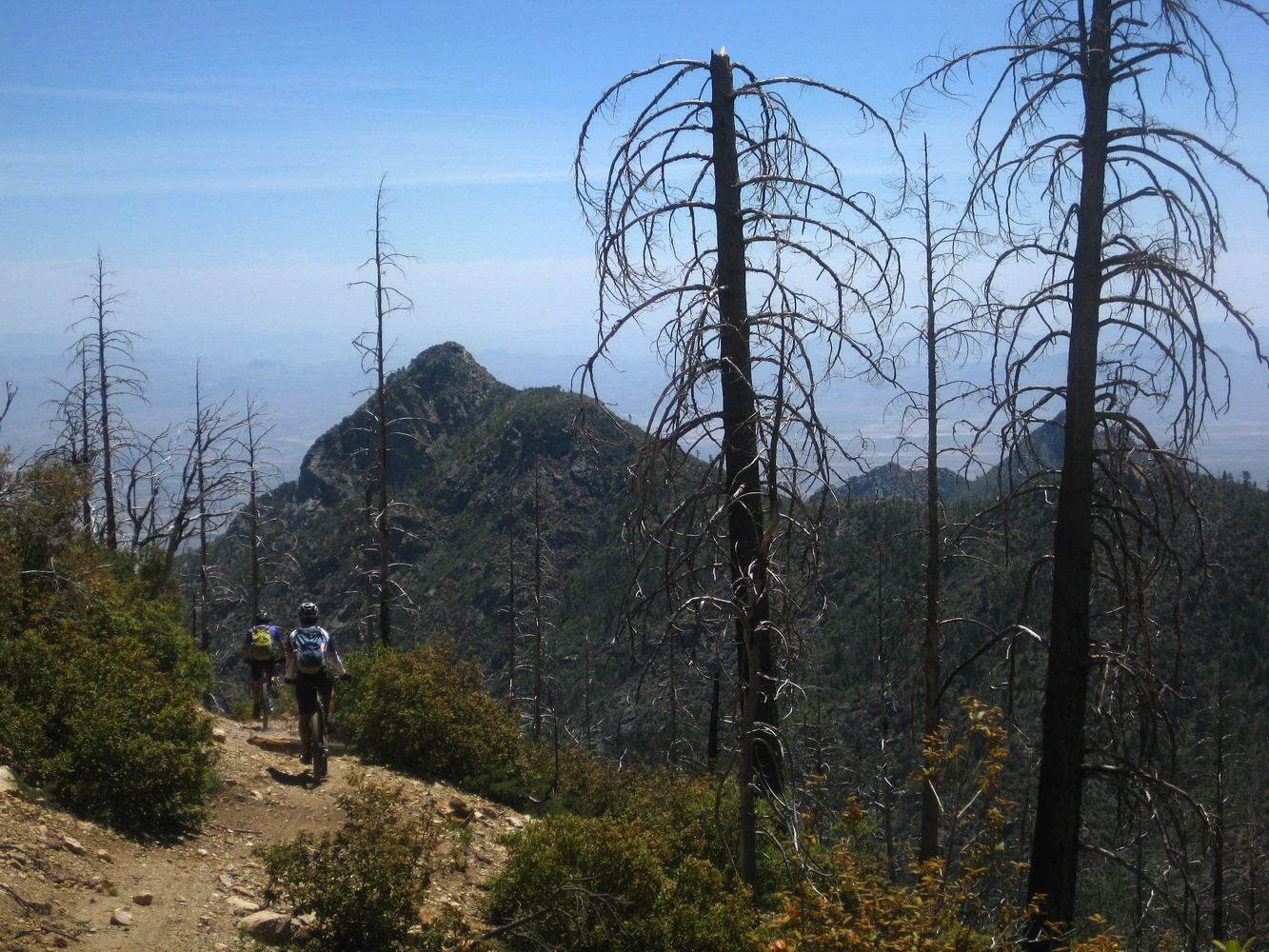
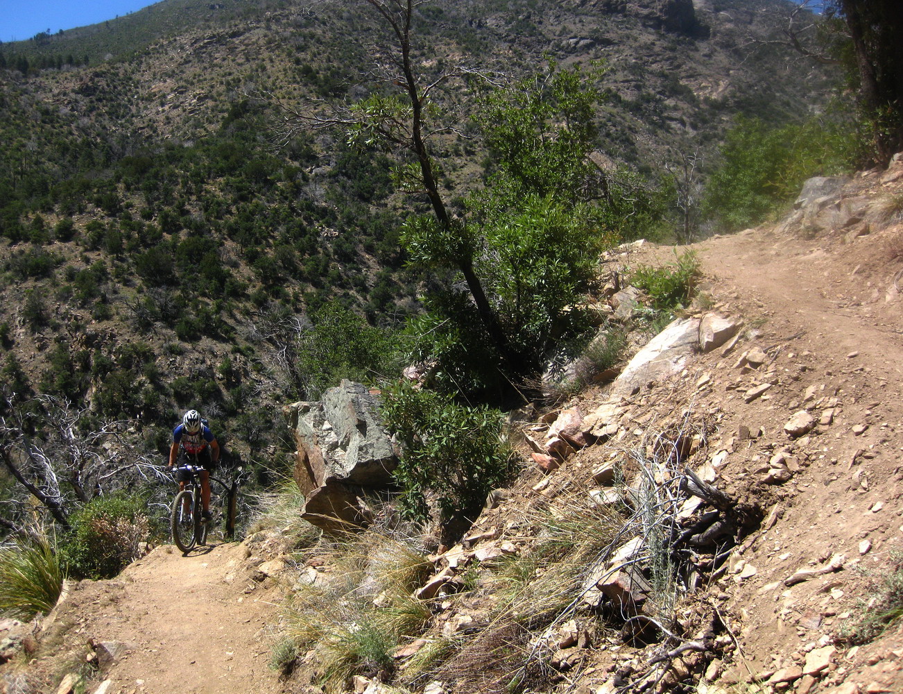
The singletrack started off well, and just as I remembered it. Nicely benched and contouring through deep, deep forest. The CCC did a superb job, eighty years ago!
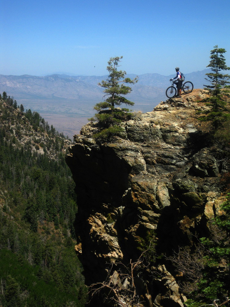
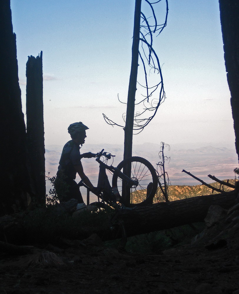
An epic rider deserves an epic pose every now and again.
Not to mention an epic trail.
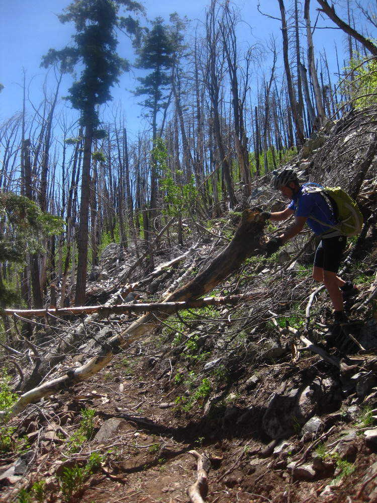
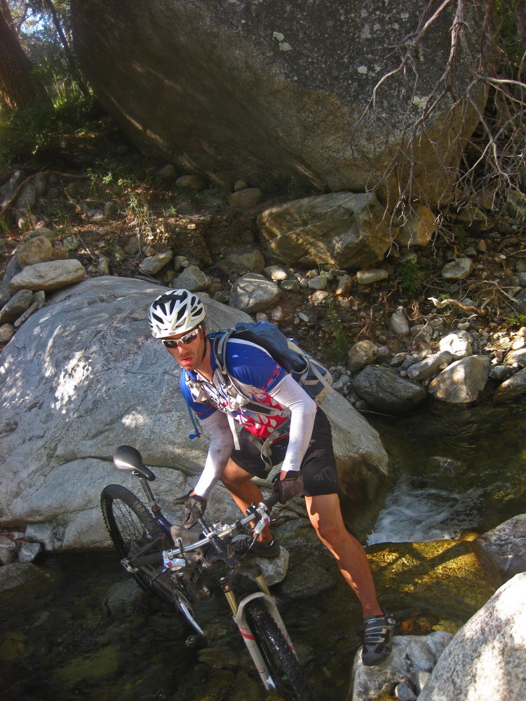
Things quickly ground to a halt and the challenge began. Once again we did some token trailwork, beyond what is required simply to gain passage, being the first party of the season on the trail.
And party we did, for the brief sections that were not littered with deadfall.
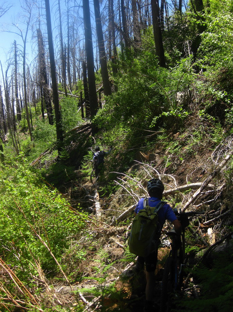
Some spots were awkward, to say the least. It was a good (?) test of the ankle, with its limited strength and proprioception. “Just what the doctor ordered for that ankle, eh Scott?” jokes Lee. I think it was! What better to retrain the foot-brain interface than the threat of falling down the hillside, bike and all, while balancing one legged atop a four foot log? Or trying to direct your foot to a six inch opening between two branches–the only reasonable place to stand and hoist your bike over. My brain and muscles have learned to guard against certain painful motions, but there was often no choice but to make them anyway, helping to undo two months of learning bad habits. I don’t think I was ready to do anything like this two weeks ago, but luckily I was today.
2.5 hours to cover 3.5 miles, all while losing 2500 feet and climbing almost nothing. Yeaaaah! Hundreds and hundreds of trees!
And now it’s time to go uphill! Ah, but at the junction with the Frye Canyon trail there was a freshly cut log. A small sign of hope.
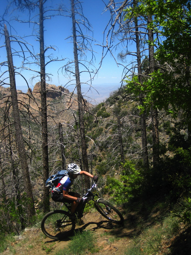
And sure enough, it was time for the switchback siege to begin, unfettered by deadfall and aided by recent trail work.
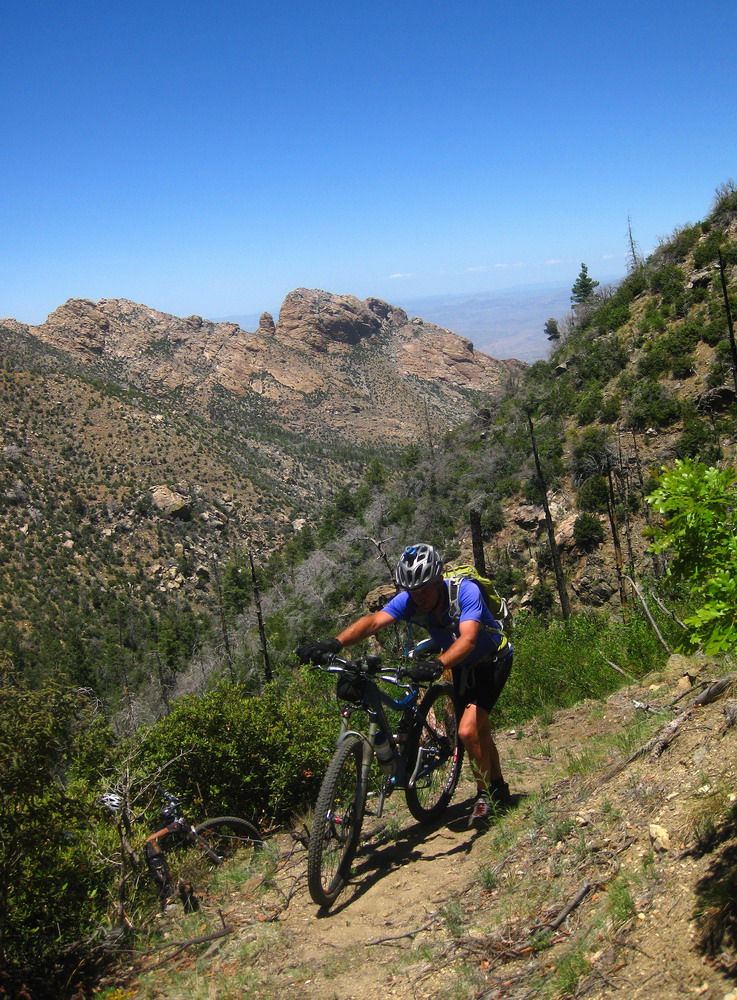
Another photo for the much anticipated coffee table book, “Photos of Lee Blackwell hiking his bike in every mountain range in Arizona.” He’s the king of hike-a-bike.
I quickly found that hike-a-bike wasn’t such a good option for me. Riding was pain free, so I endeavored to do as much as possible. By pain free, of course, I mean that my head was on fire and my heart was trying to pound its way out of my rib cage. It hurt… oh so good.
Chad was geared higher than my 20×36, but made some strong efforts and cleaned a lot. Pretty sure he won on the overall switchback contest. Even more challenging than trying to ride them all would have been keeping track — there are just too many.
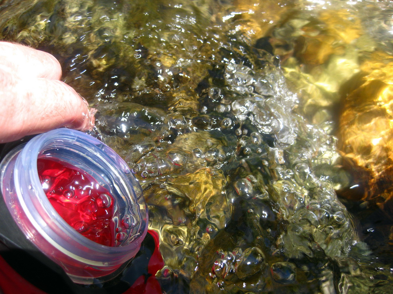
The winter storms may have hammered the trail, but we did benefit from them in other ways. I stopped multiple times to ice my burning feet, and to fill up on refreshingly cold water. It was usually shady (untouched by fire) near all the creeks, so they made for excellent rest stops.
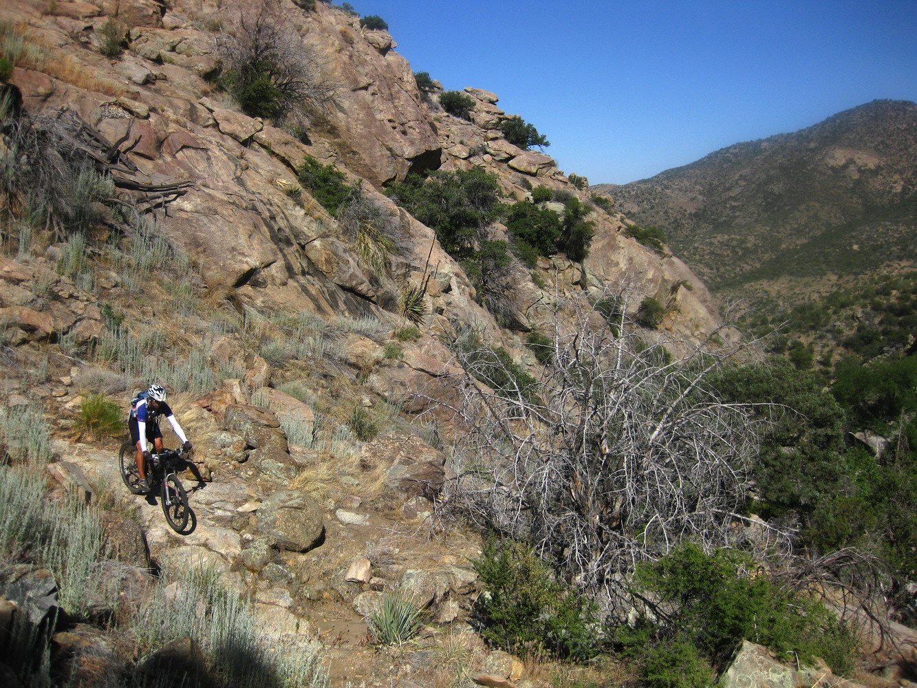
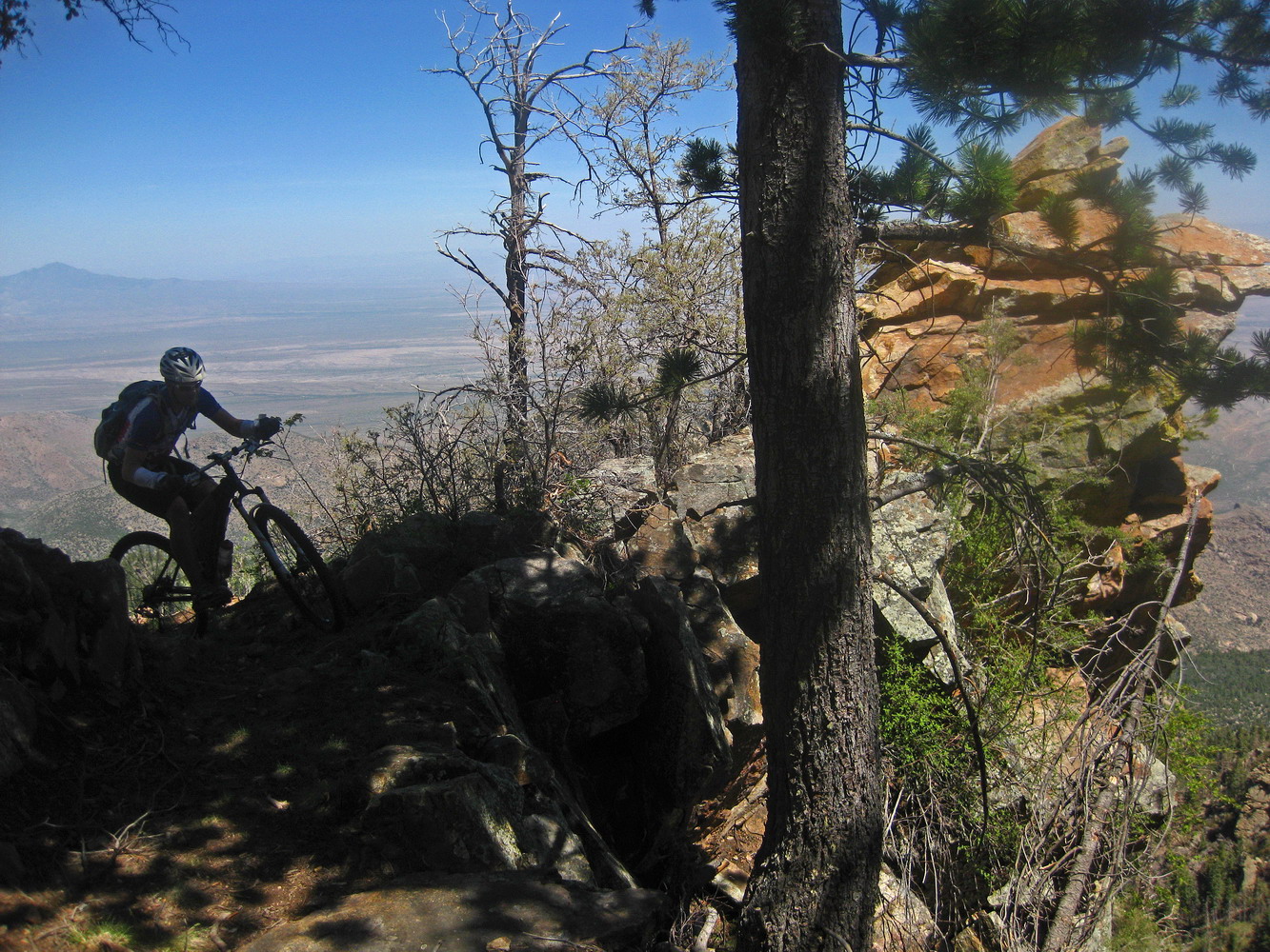
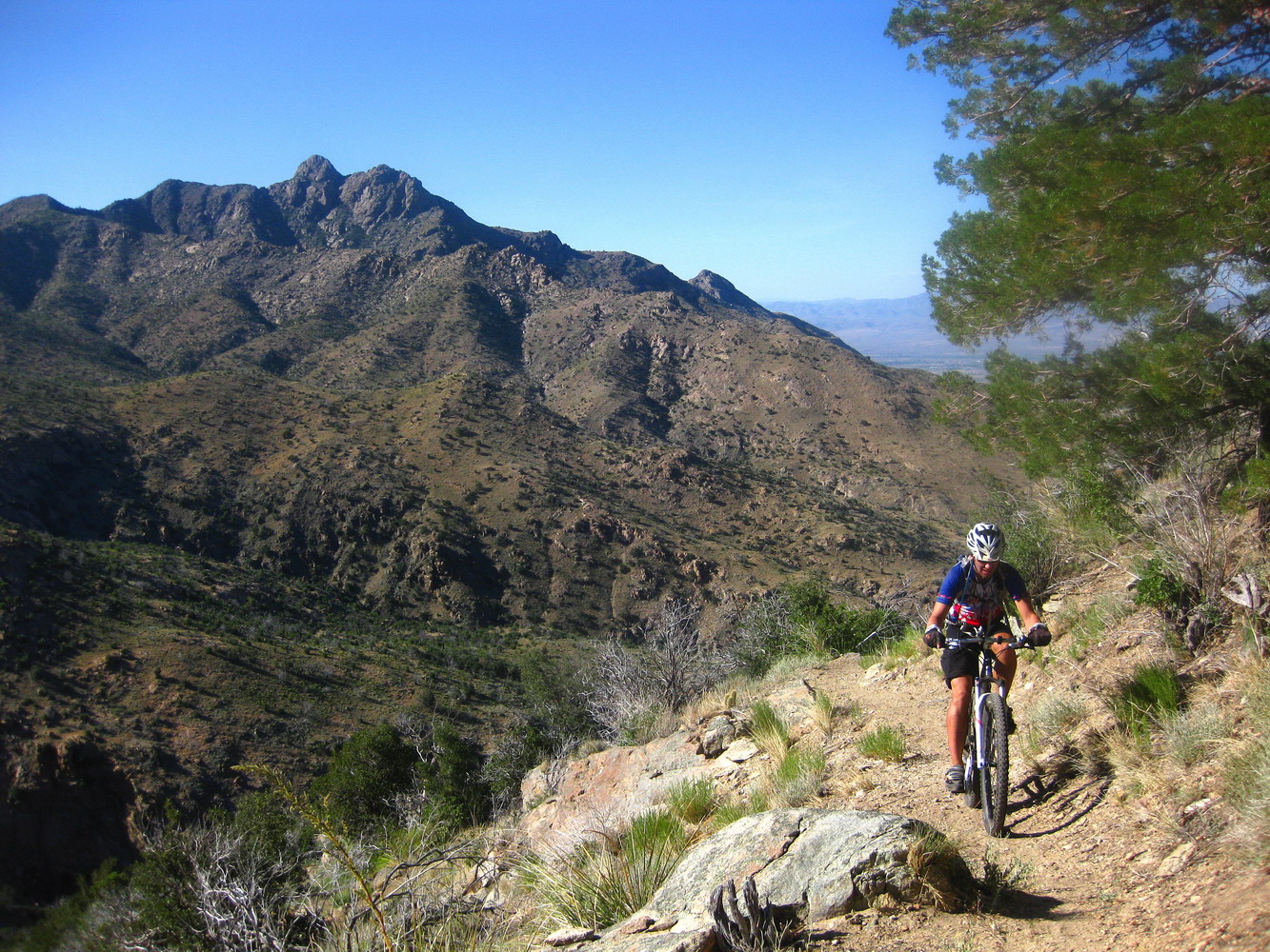
A couple thousand foot climbs and drops later, we were rounding the wide valley that funnels into Marijilda Canyon. The trail navigates through several impressive chasms, all flowing with water and full of deep pools. We’d stop at the edge of one and look across, seeing trail, wondering how in the world we were going to get over there.
It’s impossible to describe how ‘out there’ this trail seems, and how big it feels. Miles have never felt longer, and that is emphatically a good thing. We were loving it — adventure riders immersed in their natural habitat.
Thoughts did turn, occasionally, to the final climb. I remembered walking most of it in 2003, and the sun was clicking into the ‘bake’ phase as the afternoon wore on.
But the heat, exposure, tightness of switchbacks and steepness of grade were all good things in my book. Just additional challenges, something to direct myself at fully and see how I stack up.
I pedaled for all I was worth, core temperature sky rocketing. I saw stars through blurry eyes, collapsed on my handlebars and lusted after shade. Both Chad and I pulled several miracle switchbacks, and fumbled on many others. It was, in a word, awesome.
The ensuing descent was a major relief since it was completely shaded. It was also rocky and technical as all get out. It was in much the same shape as I remember from 2003, but this time I fared much better, on 29″ wheels and with friends along. Lee was riding technical stuff with a lot more confidence, having recently added some travel to his fork. It was cool to see us all riding so closely and so well, after a long day on the trail.
We wrapped up the trail at Noon Creek, where a thorough dousing was required and was ridiculously refreshing. Now all that remained was the ‘simple’ task of a 1500′ climb back to camp on the Swift Trail.
My legs didn’t have much ‘pizazz’ at this point, and after a few minutes of feigning the same, Lee took off up the road, attacked Chad and was next seen chomping on a carrot back at camp. Way to go Lee.
We had just enough light to put together dinner, kick the fire around a bit, then crash out.
A 12 hour ride can do wonders to hammer the body and clear out the mind. As soon as I laid down on my sleeping pad I felt like I was melting into the earth. It was the best kind of tired — not too little and not too much. The hours of struggling through trees made for a whole body yoga session, requiring strong stretching and contortions of the body that even the ancient yogis never dreamed of. I felt relaxed and loose, open to anything, renewed. I flipped on the music player and stared up at the stars as the notes and rhythm raced through my head.
I would love to do this ride again, maybe after a few hundred trees are chopped.

Thank you for sharing!!!…absolutely FANTASTIC ride!….. even for the fallen trees…
🙂
MA
You would think, having spoken with the Forest Service as well as two different trail crew leaders who’ve been working on Round-the-Mountain, that I’d have had a straight answer on the blowdown situation. Ah well, a partial truth is surely better than a total lie. And then there’s the unanswerable question of what a person “would have done” with different information. Lucky for me, you guys went for it and I get to read a great writeup, as usual. And of course I’m “sorry” I missed the rough stuff this spring while circumventing that particular stretch due to snow concerns. Hadn’t seen it since 2007, in fact, when conditions were surely much better on the deadfall front, if absolutely terrible in terms of tread underfoot. I’m thinking of the two tributaries of Frye Canyon, in particular, those reached first after descending from the top. (Cavernous monstrosities of erosional devastation!)
The Arcadia Trail is one of ten featured summer hikes in this month’s Arizona Highways rag. Three cheers for investigative reporting (or not!)
I want to move to Tuscon… Thanks for the write-up, absolutely amazing riding and writing as always!
Hey blisterfree —
I think there are so many trails on the mountain the FS can never keep them straight! I remember finding that the trails closed by fires on the ground didn’t correspond to those in the ‘official’ docs.
As for Arcadia — we had that same issue and were reading it on the drive back, laughing at the description of the Arcadia trail.
Snow might have been a mixed blessing for you…
great pics and write up….but trumped by the ride itself. The summer is upon us and is for sure, pushing us higher.
Very nice!
Interesting how different people get different information- I was told to stay away from the Round-the-Mountain trail by FS earlier this year because they said it was a huge mess.